Category:Maps of Malaita
Jump to navigation
Jump to search
Media in category "Maps of Malaita"
The following 11 files are in this category, out of 11 total.
-
 00-102 Malaita languages.png 1,495 × 1,948; 1.06 MB
-
 Admiralty Chart No 1469 Guadalcanal and Florida Island, Published 1893, Large Corrections 1932.jpg 16,135 × 11,064; 43.25 MB
-
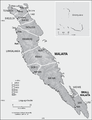
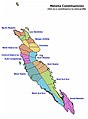 Malaita Island constituencies.jpg 442 × 599; 34 KB
-
 Malaita Island NASA.jpg 1,024 × 702; 147 KB
-
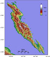 Malaita Topography.png 1,625 × 1,884; 1.33 MB
-
 Malaita Tube-nosed Fruit Bat area.png 392 × 560; 5 KB
-
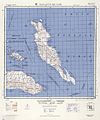 Malaitaislandmaplarge 1944.jpg 3,111 × 3,732; 11.22 MB
-
 MaramasikeMap.png 536 × 710; 11 KB
-
 OSM 2023 Solomons Malaita.png 1,605 × 2,245; 1.78 MB
-
 Solomon Islands - Malaita.PNG 932 × 565; 62 KB
-
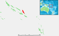
 Solomon Islands-Malaita.png 400 × 184; 4 KB


