Category:Locator maps of the United States Virgin Islands
Jump to navigation
Jump to search
Subcategories
This category has only the following subcategory.
Media in category "Locator maps of the United States Virgin Islands"
The following 12 files are in this category, out of 12 total.
-
 United States Virgin Islands - Location Map (2013) - VIR - UNOCHA.svg 235 × 235; 308 KB
-
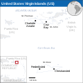
 Map of USVI.png 2,100 × 1,500; 49 KB
-
 Caribbean - Saint Croix.PNG 929 × 606; 48 KB
-
 Caribbean - Saint John.PNG 627 × 481; 9 KB
-
 Caribbean - Saint Thomas.PNG 627 × 481; 9 KB
-
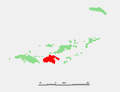
 Caribbean - US Virginislands.PNG 929 × 606; 48 KB
-
 Caribbean - Water Island.PNG 627 × 481; 9 KB
-
 Karibik Amerikanische Jungferninseln Position.png 1,024 × 636; 16 KB
-
 LocationUSVirginIslands.png 250 × 115; 8 KB
-
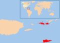
 United States Virgin Islands - Caribbean.svg 3,690 × 2,323; 3.26 MB
-
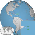 Unitedstatesvirginislands w1 locator.svg 1,000 × 1,000; 106 KB
-
 Unitedstatesvirginislands w2 locator.svg 1,000 × 1,000; 201 KB
_-_VIR_-_UNOCHA.svg)


