Category:Locator maps of Paris and inner ring departments
Jump to navigation
Jump to search
Subcategories
This category has the following 3 subcategories, out of 3 total.
Media in category "Locator maps of Paris and inner ring departments"
The following 30 files are in this category, out of 30 total.
-

-

-
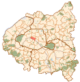
 Densité de population, Hauts-de-Seine, INSEE 2006.svg 1,552 × 1,586; 541 KB
-
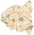
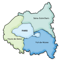
 Map of Paris and its inner ring départements.svg 512 × 523; 207 KB
-
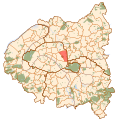
 Paris and inner ring.svg 1,552 × 1,586; 540 KB
-
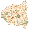
 Paris1 map.svg 1,552 × 1,586; 540 KB
-
 Paris10 map.svg 1,552 × 1,586; 540 KB
-
 Paris11 map.svg 1,552 × 1,586; 540 KB
-
 Paris12 map.svg 1,552 × 1,586; 540 KB
-
 Paris13 map.svg 1,552 × 1,586; 540 KB
-
 Paris14 map.svg 1,552 × 1,586; 540 KB
-
 Paris15 map.svg 1,552 × 1,586; 540 KB
-
 Paris16 map.svg 1,552 × 1,586; 540 KB
-
 Paris17 map.svg 1,552 × 1,586; 540 KB
-
 Paris18 map.svg 1,552 × 1,586; 540 KB
-
 Paris19 map.svg 1,552 × 1,586; 540 KB
-
 Paris2 map.svg 1,552 × 1,586; 540 KB
-
 Paris20 map.svg 1,552 × 1,586; 540 KB
-
 Paris3 map.svg 1,552 × 1,586; 540 KB
-
 Paris4 map.svg 1,552 × 1,586; 540 KB
-
 Paris5 map.svg 1,552 × 1,586; 540 KB
-
 Paris6 map.svg 1,552 × 1,586; 540 KB
-
 Paris7 map.svg 1,552 × 1,586; 540 KB
-
 Paris8 map.svg 1,552 × 1,586; 540 KB
-
 Paris9 map.svg 1,552 × 1,586; 540 KB
-
 Petite couronne-2.svg 264 × 264; 89 KB
-
 Petite couronne.png 264 × 264; 7 KB
-
 Petite couronne.svg 264 × 264; 127 KB
-
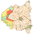
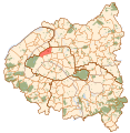
 Pôle Paris-La Défense map.svg 1,552 × 1,586; 541 KB
-


