Category:Location maps of Vietnam
Jump to navigation
Jump to search
 |
This category should only contain blank "Location maps" created for geo-location purposes which follow a same uniform standard, and have been created with a Geographic information system (GIS) software program using a compatible equirectangular or conical projection and for which the geographic coordinate system is known. For more information or questions see the wikiproject: German Wikipedia:Kartenwerkstatt/Positionskarten and this discussion page. |
Media in category "Location maps of Vietnam"
The following 10 files are in this category, out of 10 total.
-
 Hanoi location map.svg 512 × 512; 226 KB
-
 Ho Chi Minh City location map.svg 512 × 731; 453 KB
-
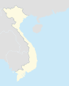
 South Vietnam location map.png 495 × 544; 72 KB
-
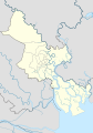
 Thanh Hóa province location map.png 2,101 × 1,873; 657 KB
-
 Viet Nam map.png 611 × 758; 24 KB
-
 Viet Nam's map.png 611 × 758; 27 KB
-
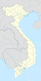 Vietnam location map.svg 1,200 × 2,349; 365 KB
-
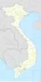 Vietnam location map2.svg 1,200 × 2,349; 377 KB
-
 Vietnam map.svg 611 × 758; 130 KB
-
 Vietnam relief location map.jpg 1,200 × 2,349; 1.68 MB


