Category:Countryside around Truro
Jump to navigation
Jump to search
Media in category "Countryside around Truro"
The following 21 files are in this category, out of 21 total.
-
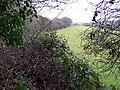 A Glimpse through the Hedge - geograph.org.uk - 99783.jpg 640 × 480; 156 KB
-
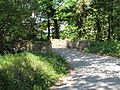 Bridge over stream near Hugos Farm - geograph.org.uk - 799819.jpg 640 × 480; 139 KB
-
 Cereal Cropland - geograph.org.uk - 229196.jpg 640 × 427; 113 KB
-
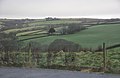
 Farmland at Penair - geograph.org.uk - 99776.jpg 640 × 436; 78 KB
-
 Field near Lower Tregurra Farm. - geograph.org.uk - 405634.jpg 640 × 457; 63 KB
-

-

-
 Near Penwethers - geograph.org.uk - 550079.jpg 640 × 480; 137 KB
-
 Stream - geograph.org.uk - 506284.jpg 640 × 480; 183 KB
-
 Truro , Grassy Countryside - geograph.org.uk - 2817558.jpg 4,236 × 2,768; 3.84 MB
-
 View from the County Arms - geograph.org.uk - 4688225.jpg 640 × 342; 47 KB
-
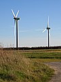 Wind Turbines at Four Burrows - geograph.org.uk - 282463.jpg 479 × 640; 81 KB
-
 Winter field near Tregerrick - geograph.org.uk - 288900.jpg 640 × 426; 86 KB
-

-
 Set-aside - geograph.org.uk - 366743.jpg 640 × 426; 120 KB
-
 Track to Namprathic farm - geograph.org.uk - 288927.jpg 426 × 640; 78 KB
-
 Tresawsan Farm - geograph.org.uk - 288917.jpg 640 × 426; 93 KB
-
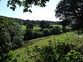
 Valley near Silverwell - geograph.org.uk - 274155.jpg 640 × 426; 107 KB
-

-
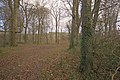 Woodland near St Michael Penkevil - geograph.org.uk - 288944.jpg 640 × 426; 130 KB
-
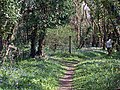 Woodland path near Coombe - geograph.org.uk - 411377.jpg 640 × 480; 179 KB


