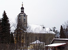
Category:Church of the Annunciation (Ropice)
Jump to navigation
Jump to search
| Object location | | View all coordinates using: OpenStreetMap |
|---|
church building in Ropice, Czech Republic | |||||
| Upload media | |||||
| Instance of | |||||
|---|---|---|---|---|---|
| Named after | |||||
| Patron saint | |||||
| Location | Ropice, Frýdek-Místek District, Moravian-Silesian Region, Czechia | ||||
| Heritage designation | |||||
| Religion or worldview | |||||
 | |||||
|
This is a category about a cultural monument of the Czech Republic,
number: 27175/8-700. |
Čeština: Kostel Zvěstování Panny Marie, Ropice
Media in category "Church of the Annunciation (Ropice)"
The following 4 files are in this category, out of 4 total.
-
2022 Ropice church.jpg 4,032 × 3,024; 3.36 MB
-
CZE Ropice, Kostel Zvěstování Panny Marie.jpg 3,500 × 2,280; 2.64 MB
-
Ropica 871.jpg 2,576 × 1,932; 696 KB
-
Ropica 873.jpg 1,823 × 2,514; 948 KB


