Category:Ballyriff
Jump to navigation
Jump to search
English: Ballyriff is a townland of 552 acres in the Electoral Division of The Loop, in Civil Parish of Artrea, in the Barony of Loughinsholin, in the County of Londonderry
Media in category "Ballyriff"
The following 9 files are in this category, out of 9 total.
-
 Abandoned cottage at Ballyriff - geograph.org.uk - 226641.jpg 640 × 189; 22 KB
-
 Ballyriff Townland - geograph.org.uk - 226639.jpg 640 × 479; 51 KB
-
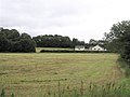
 Ballyriff Townland - geograph.org.uk - 300777.jpg 640 × 479; 48 KB
-
 Ballyriff Townland - geograph.org.uk - 300785.jpg 640 × 479; 51 KB
-
 Ballyriff Townland - geograph.org.uk - 300789.jpg 640 × 280; 29 KB
-
 Bin collection, Ballyriff - geograph.org.uk - 300783.jpg 640 × 479; 76 KB
-
 Farm Buildings at Ballyriff - geograph.org.uk - 300776.jpg 640 × 479; 57 KB
-
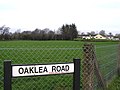 Oaklea Road - geograph.org.uk - 300773.jpg 640 × 479; 63 KB
-
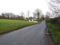 Road at Ballyriff - geograph.org.uk - 300772.jpg 640 × 479; 62 KB


