Category:1820s maps of Estonia
Jump to navigation
Jump to search
Countries of Europe: Albania · Armenia‡ · Austria · Azerbaijan‡ · Belgium · Bulgaria · Croatia · Czech Republic · Denmark · Estonia · Finland · France‡ · Georgia‡ · Germany · Greece · Republic of Ireland · Italy · Latvia · Lithuania · Montenegro · Netherlands‡ · Norway · Poland · Portugal‡ · Romania · Russia‡ · Serbia · Slovenia · Spain‡ · Sweden · Switzerland · Turkey‡ · Ukraine · United Kingdom
Limited recognition: Abkhazia‡
‡: partly located in Europe
Limited recognition: Abkhazia‡
‡: partly located in Europe
Media in category "1820s maps of Estonia"
The following 6 files are in this category, out of 6 total.
-

-
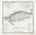
 Governorate of Estonia 1820.jpg 4,932 × 4,741; 3.98 MB
-
 Governorate of Estonia 1820.png 4,932 × 4,741; 35.71 MB
-
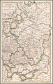
 Governorate of Livonia 1820.jpg 4,920 × 4,751; 4.65 MB
-
 Russian Empire - European part, 1825.jpg 5,722 × 9,000; 13.32 MB
-
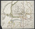 Allgemeine Post- und Strassen-Karte des Russischen Reichs in Europa 04.jpg 5,576 × 4,668; 9.58 MB


