Category:1570s maps of South America
Jump to navigation
Jump to search
Temperate regions: North America · South America · Africa · Europe · Asia · – Polar regions: – Other regions:
Subcategories
This category has the following 3 subcategories, out of 3 total.
Media in category "1570s maps of South America"
The following 9 files are in this category, out of 9 total.
-
 Brazil and Central Atlantic RMG F1754.tiff 6,352 × 4,640; 84.32 MB
-
 SE South America RMG F1753.tiff 6,959 × 5,079; 101.12 MB
-
 Tierra Nova" (South America).jpg 800 × 600; 135 KB
-
 Map of South america 1575.jpg 1,111 × 1,140; 245 KB
-
 Americae Peruvi aque ita ut postremum detecta traditur recens delineatio RMG F0332.tiff 6,802 × 5,226; 101.7 MB
-
 Americae Peruvi aque ita ut postremum detecta traditur recens delineatio RMG L8556-001.jpg 1,280 × 1,005; 1.78 MB
-
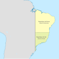 Brazil in 1572.svg 2,008 × 1,985; 913 KB
-
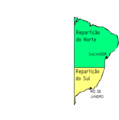 Brazil states1572.png 302 × 305; 8 KB
-
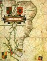 Brazil vaz dourado.JPG 494 × 631; 79 KB
.jpg)


