File:Yagi 2018-08-12 0520Z.jpg
Jump to navigation
Jump to search

Size of this preview: 454 × 599 pixels. Other resolutions: 182 × 240 pixels | 364 × 480 pixels | 582 × 768 pixels | 776 × 1,024 pixels | 1,552 × 2,048 pixels | 5,505 × 7,265 pixels.
Original file (5,505 × 7,265 pixels, file size: 2.63 MB, MIME type: image/jpeg)
Captions
Captions
Add a one-line explanation of what this file represents
Summary[edit]
| Description |
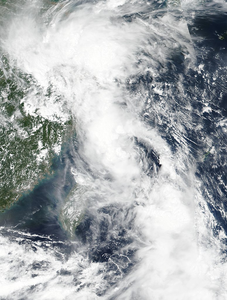
English: Tropical Storm Yagi (18W) in the East China Sea |
| Date | |
| Source | https://go.nasa.gov/2YkMRFk |
| Author | National Oceanic and Atmospheric Administration, VIIRS, captured on Suomi NPP satellite |
| Camera location | | View this and other nearby images on: OpenStreetMap |
|---|
Licensing[edit]
This image is in the public domain because it contains materials that originally came from the U.S. National Oceanic and Atmospheric Administration, taken or made as part of an employee's official duties.
|
File history
Click on a date/time to view the file as it appeared at that time.
| Date/Time | Thumbnail | Dimensions | User | Comment | |
|---|---|---|---|---|---|
| current | 04:15, 24 March 2019 | | 5,505 × 7,265 (2.63 MB) | Nino Marakot (talk | contribs) | User created page with UploadWizard |
You cannot overwrite this file.
File usage on Commons
The following page uses this file: