File:World location map terr2015.svg
Jump to navigation
Jump to search

Size of this PNG preview of this SVG file: 800 × 400 pixels. Other resolutions: 320 × 160 pixels | 640 × 320 pixels | 1,024 × 512 pixels | 1,280 × 640 pixels | 2,560 × 1,280 pixels.
Original file (SVG file, nominally 800 × 400 pixels, file size: 569 KB)
Captions
Captions
Add a one-line explanation of what this file represents

|
This file has been superseded by BlankMap-World.svg. It is recommended to use the other file. Please note that deleting superseded images requires consent.
|
Summary[edit]
| Description |
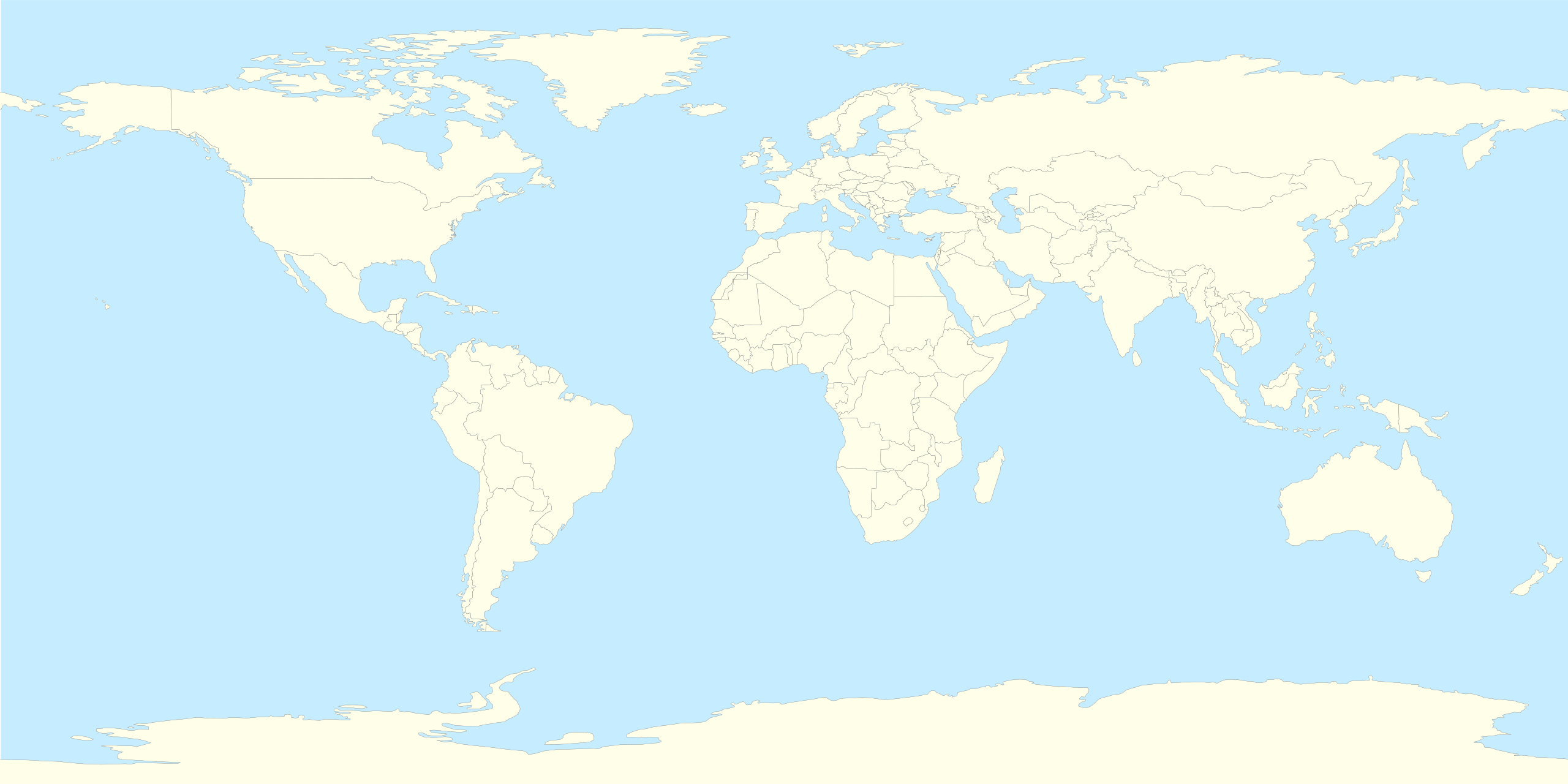
Русский: Шаблон политической карты мира с некоторыми непризнанными и частично признанными государствами и спорными территориями по состоянию на январь 2015 года. Не указаны территории, не имеющие сейчас устоявшихся фактических границ: Курдистан, Исламское Государство, государственные образования на территории Сомали и другие. English: Blank political world map includes counties and territories with limited or no recognition, and disputable territories at January'2015. Kurdistan, Islamic State, states of Somalia and other territories have no stable borders now are not included. |
| Date | |
| Source |
This file was derived from: This vector image includes elements that have been taken or adapted from this file: This vector image includes elements that have been taken or adapted from this file: This vector image includes elements that have been taken or adapted from this file: This vector image includes elements that have been taken or adapted from this file: This vector image includes elements that have been taken or adapted from this file: This vector image includes elements that have been taken or adapted from this file: This vector image includes elements that have been taken or adapted from this file: This vector image includes elements that have been taken or adapted from this file: This vector image includes elements that have been taken or adapted from this file: This vector image includes elements that have been taken or adapted from this file: This vector image includes elements that have been taken or adapted from this file: |
| Author | Alexander Roumega |
_(claims_hatched).svg)
.svg)
_(semi-secession).svg)
Licensing[edit]
This file is licensed under the Creative Commons Attribution-Share Alike 4.0 International license.
- You are free:
- to share – to copy, distribute and transmit the work
- to remix – to adapt the work
- Under the following conditions:
- attribution – You must give appropriate credit, provide a link to the license, and indicate if changes were made. You may do so in any reasonable manner, but not in any way that suggests the licensor endorses you or your use.
- share alike – If you remix, transform, or build upon the material, you must distribute your contributions under the same or compatible license as the original.
File history
Click on a date/time to view the file as it appeared at that time.
| Date/Time | Thumbnail | Dimensions | User | Comment | |
|---|---|---|---|---|---|
| current | 18:35, 4 January 2015 | | 800 × 400 (569 KB) | Alexander Roumega (talk | contribs) | Several new territories have been added |
| 20:54, 1 January 2015 |  | 800 × 400 (516 KB) | Alexander Roumega (talk | contribs) | Уточнены границы Новороссии, малые правки. | |
| 16:02, 1 January 2015 |  | 800 × 400 (515 KB) | Alexander Roumega (talk | contribs) | User created page with UploadWizard |
You cannot overwrite this file.
File usage on Commons
There are no pages that use this file.