File:Verzweigung Lattigen, location on 25000 map by Swisstopo, 2016.jpg
Original file (1,483 × 1,020 pixels, file size: 273 KB, MIME type: image/jpeg)
Captions
Captions
Summary[edit]
| Description |
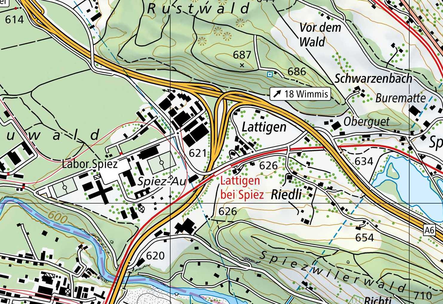
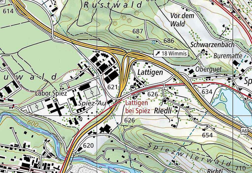
English: Verzweigung Lattigen, location on Swiss national map 1:25'000, sheet 1207 Thun. |
|||||||||||||||||||||||
| Date | ||||||||||||||||||||||||
| Source |
|
|||||||||||||||||||||||
| Author |
|
|||||||||||||||||||||||
| Other versions | ||||||||||||||||||||||||


| Object location | | View this and other nearby images on: OpenStreetMap |
|---|
Licensing[edit]
The data made publicly available by swisstopo may be used, distributed and made accessible. Furthermore, they may be enriched and processed and also used commercially. A reference to the source is mandatory. In the case of digital or analogue representations and publications, as well as in the case of dissemination, one of the following source references must be attached in any case:
Terms of use for free geodata and geoservices (OGD) from swisstopo
|
.svg) |
File history
Click on a date/time to view the file as it appeared at that time.
| Date/Time | Thumbnail | Dimensions | User | Comment | |
|---|---|---|---|---|---|
| current | 17:32, 22 April 2022 | | 1,483 × 1,020 (273 KB) | Enhancing999 (talk | contribs) | File:1207 Thun.jpg cropped 89 % horizontally, 89 % vertically using CropTool with precise mode. |
You cannot overwrite this file.
File usage on Commons
The following 2 pages use this file:
File usage on other wikis
The following other wikis use this file:
- Usage on de.wikipedia.org