File:Verbliebener Rest des Neudorfer Grabens.jpg

Original file (1,920 × 2,560 pixels, file size: 3.57 MB, MIME type: image/jpeg)
Captions
Captions
Summary[edit]
| Description |
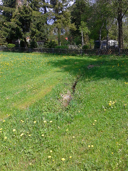
Deutsch: Der verbliebene Rest des Neudorfer Grabens verläuft über ein Prvatgrundstück. |
| Date | |
| Source | Own work |
| Author | Sarkana |
| Other versions | 20120504_125319 |
| Camera location | | View this and other nearby images on: OpenStreetMap |
|---|
Licensing[edit]
| Copyleft: This work of art is free; you can redistribute it and/or modify it according to terms of the Free Art License. You will find a specimen of this license on the Copyleft Attitude site as well as on other sites. |
Alternativ ist auch die Verwendung einer der folgenden Lizenzen möglich:

|
Permission is granted to copy, distribute and/or modify this document under the terms of the GNU Free Documentation License, Version 1.2 only as published by the Free Software Foundation; with no Invariant Sections, no Front-Cover Texts, and no Back-Cover Texts. A copy of the license is included in the section entitled GNU Free Documentation License. | 1.2 only |
|
This file is published under the following Creative Commons licenses: Attribution NonCommercial NonDerivative 1.0 |
|---|
To provide attribution, credit the author as the uploader's username with a link to his userpage.
|
This file is published under the following Creative Commons licenses: Attribution NonCommercial ShareAlike 1.0 |
|---|
To provide attribution, credit the author as the uploader's username with a link to his userpage.
File history
Click on a date/time to view the file as it appeared at that time.
| Date/Time | Thumbnail | Dimensions | User | Comment | |
|---|---|---|---|---|---|
| current | 20:48, 4 June 2012 | | 1,920 × 2,560 (3.57 MB) | Sarkana (talk | contribs) | {{Information |Description={{de|Der verbliebene Rest des Neudorfer Grabens verläuft über ein Prvatgrundstück.}} |Source={{own}} |Date=2012-05-04 12:53 |Author=Sarkana |Permission= |other_versions=[http://www.flickr.com/photos/sarkana/7337956182/ 201... |
You cannot overwrite this file.
File usage on Commons
There are no pages that use this file.