File:Uttar Pradesh locator map hi.svg
Jump to navigation
Jump to search

Size of this PNG preview of this SVG file: 572 × 599 pixels. Other resolutions: 229 × 240 pixels | 458 × 480 pixels | 733 × 768 pixels | 977 × 1,024 pixels | 1,954 × 2,048 pixels | 2,400 × 2,515 pixels.
Original file (SVG file, nominally 2,400 × 2,515 pixels, file size: 137 KB)
Captions
Captions
Add a one-line explanation of what this file represents
Summary[edit]
| Description |
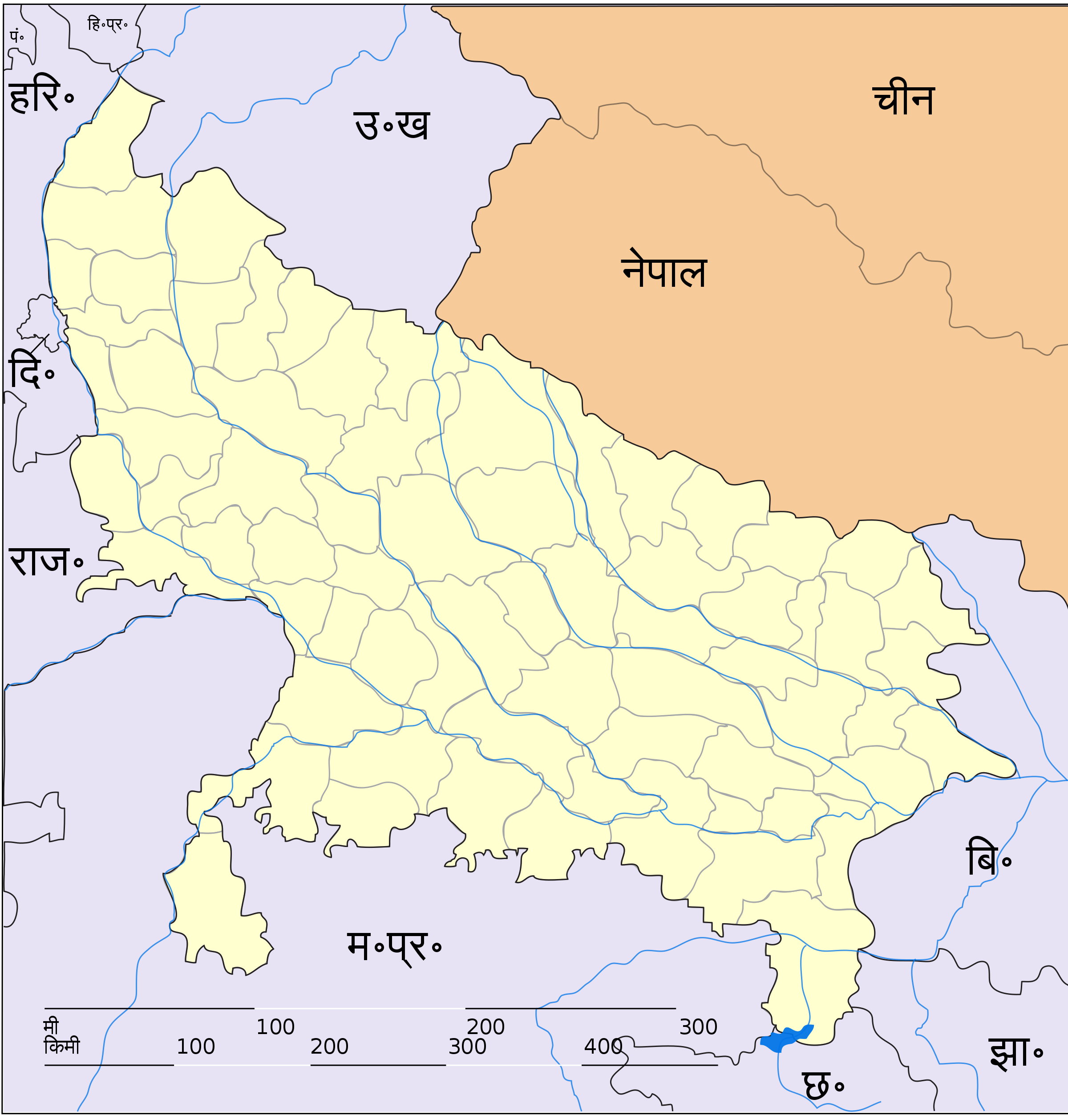
English: This map has been originally created by Faiz Haider, it is based on Map of Uttar Pradesh on National Portal of India. Equirectangular projection. Geographic limits of the map: top=31.00, bottom=23.50, left=76.60, right=85.00. This file is a derivative work of File:Uttar Pradesh locator map.svg. |
| Date | |
| Source | Own work |
| Author | The original uploader was Faizhaider at English Wikipedia.. Derivative work by User:Siddhartha Ghai. |
| Other versions | File:Uttar Pradesh locator map.svg |
Licensing[edit]
| This file is made available under the Creative Commons CC0 1.0 Universal Public Domain Dedication. | |
| The person who associated a work with this deed has dedicated the work to the public domain by waiving all of their rights to the work worldwide under copyright law, including all related and neighboring rights, to the extent allowed by law. You can copy, modify, distribute and perform the work, even for commercial purposes, all without asking permission.
|
File history
Click on a date/time to view the file as it appeared at that time.
| Date/Time | Thumbnail | Dimensions | User | Comment | |
|---|---|---|---|---|---|
| current | 03:21, 10 January 2014 | | 2,400 × 2,515 (137 KB) | Siddhartha Ghai (talk | contribs) | {{Information |Description={{en|This map has been originally created by Faiz Haider, it is based on [http://india.gov.in/maps/up.php Map of Uttar Pradesh on National Portal of India].}} Equirectangular projection. Geographic lim... |
You cannot overwrite this file.
File usage on Commons
There are no pages that use this file.
File usage on other wikis
The following other wikis use this file:
- Usage on awa.wikipedia.org
- Usage on hi.wikipedia.org
- बरेली
- नोएडा
- पीलीभीत जिला
- कानपुर देहात जिला
- ग़ाज़ियाबाद ज़िला
- फतेहपुर जिला
- महराजगंज जिला
- सीतापुर जिला
- भदोही जिला
- एटा
- बस्ती, उत्तर प्रदेश
- हरदोई
- बटेश्वर
- बिजनौर
- फ़तेहपुर सीकरी
- ज्योतिबा फुले नगर
- मुग़लसराय
- गोमती नगर
- कुसापुर गाँव, सनहौला (भागलपुर)
- अमही गाँव, बाह (आगरा)
- अर्जुनपुरा गाँव, बाह (आगरा)
- अरनोटा गाँव, बाह (आगरा)
- बड़ागाँव गाँव, बाह (आगरा)
- बदौस गाँव, बाह (आगरा)
- बघरेना गाँव, बाह (आगरा)
- बाह गाँव, बाह (आगरा)
- बाह देहात गाँव, बाह (आगरा)
- बलाई गाँव, बाह (आगरा)
- बमरौली गाँव, बाह (आगरा)
- बेडपुरा गाँव, बाह (आगरा)
- बसोनी गाँव, बाह (आगरा)
- बसई गूजर गाँव, बाह (आगरा)
- बसई भदोरिया गाँव, बाह (आगरा)
- बसई अरेला गाँव, बाह (आगरा)
- बरेंडा गाँव, बाह (आगरा)
- अभयपुरा गाँव, बाह (आगरा)
- इमानपुरा गाँव, बाह (आगरा)
- कच्छपुरा गाँव, बाह (आगरा)
- कचोराघाट गाँव, बाह (आगरा)
- कलिंजर गाँव, बाह (आगरा)
- कल्याणपुर गाँव, बाह (आगरा)
- कमलपुरा गाँव, बाह (आगरा)
- कमोनी गाँव, बाह (आगरा)
- कमतरी गाँव, बाह (आगरा)
- कनाहरपुरा गाँव, बाह (आगरा)
- कनेहरा गाँव, बाह (आगरा)
- कनकार खेड़ा गाँव, बाह (आगरा)
- करनपुरा गाँव, बाह (आगरा)
View more global usage of this file.