File:Uranus Road.jpg
Jump to navigation
Jump to search

Size of this preview: 800 × 533 pixels. Other resolutions: 320 × 213 pixels | 640 × 427 pixels | 1,024 × 683 pixels | 1,280 × 853 pixels | 1,920 × 1,280 pixels.
Original file (1,920 × 1,280 pixels, file size: 1.29 MB, MIME type: image/jpeg)
Captions
Captions
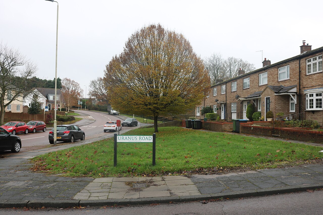
Some road names in the Highfield district of Hemel Hempstead have a solar system theme to them
Summary[edit]
| Description |
English: Road name in Highfield, Hemel Hempstead, UK |
| Date | |
| Source |
Uranus Road at the corner of Jupiter Drive, Hemel Hempstead UK cc-by-sa/2.0 - © David Howard - geograph.org.uk/p/6327161 |
| Author | David Howard |
| Attribution (required by the license) | David Howard / Uranus Road at the corner of Jupiter Drive / |
| Camera location | | View this and other nearby images on: OpenStreetMap |
|---|
_heading:157.00&language=en)
| Object location | | View this and other nearby images on: OpenStreetMap |
|---|
_heading:157.00&language=en)
Licensing[edit]

|
This image was taken from the Geograph project collection. See this photograph's page on the Geograph website for the photographer's contact details. The copyright on this image is owned by David Howard and is licensed for reuse under the Creative Commons Attribution-ShareAlike 2.0 license.
|
This file is licensed under the Creative Commons Attribution-Share Alike 2.0 Generic license.
Attribution: David Howard
- You are free:
- to share – to copy, distribute and transmit the work
- to remix – to adapt the work
- Under the following conditions:
- attribution – You must give appropriate credit, provide a link to the license, and indicate if changes were made. You may do so in any reasonable manner, but not in any way that suggests the licensor endorses you or your use.
- share alike – If you remix, transform, or build upon the material, you must distribute your contributions under the same or compatible license as the original.
File history
Click on a date/time to view the file as it appeared at that time.
| Date/Time | Thumbnail | Dimensions | User | Comment | |
|---|---|---|---|---|---|
| current | 22:37, 1 July 2023 | | 1,920 × 1,280 (1.29 MB) | Bjh21 (talk | contribs) | Replaced with the highest-resolution version that Geograph currently has |
| 18:06, 2 June 2023 |  | 640 × 427 (74 KB) | Lumos3 (talk | contribs) | Uploaded a work by David Howard from Uranus Road at the corner of Jupiter Drive, Hemel Hempstead UK cc-by-sa/2.0 - © David Howard - geograph.org.uk/p/6327161 with UploadWizard |
You cannot overwrite this file.
File usage on Commons
There are no pages that use this file.
File usage on other wikis
The following other wikis use this file:
- Usage on en.wikipedia.org