File:Traveller (2242014640).jpg
Original file (3,008 × 1,801 pixels, file size: 4.85 MB, MIME type: image/jpeg)
Captions
Captions
Summary[edit]
.jpg&action=edit§ion=1)
| Description |
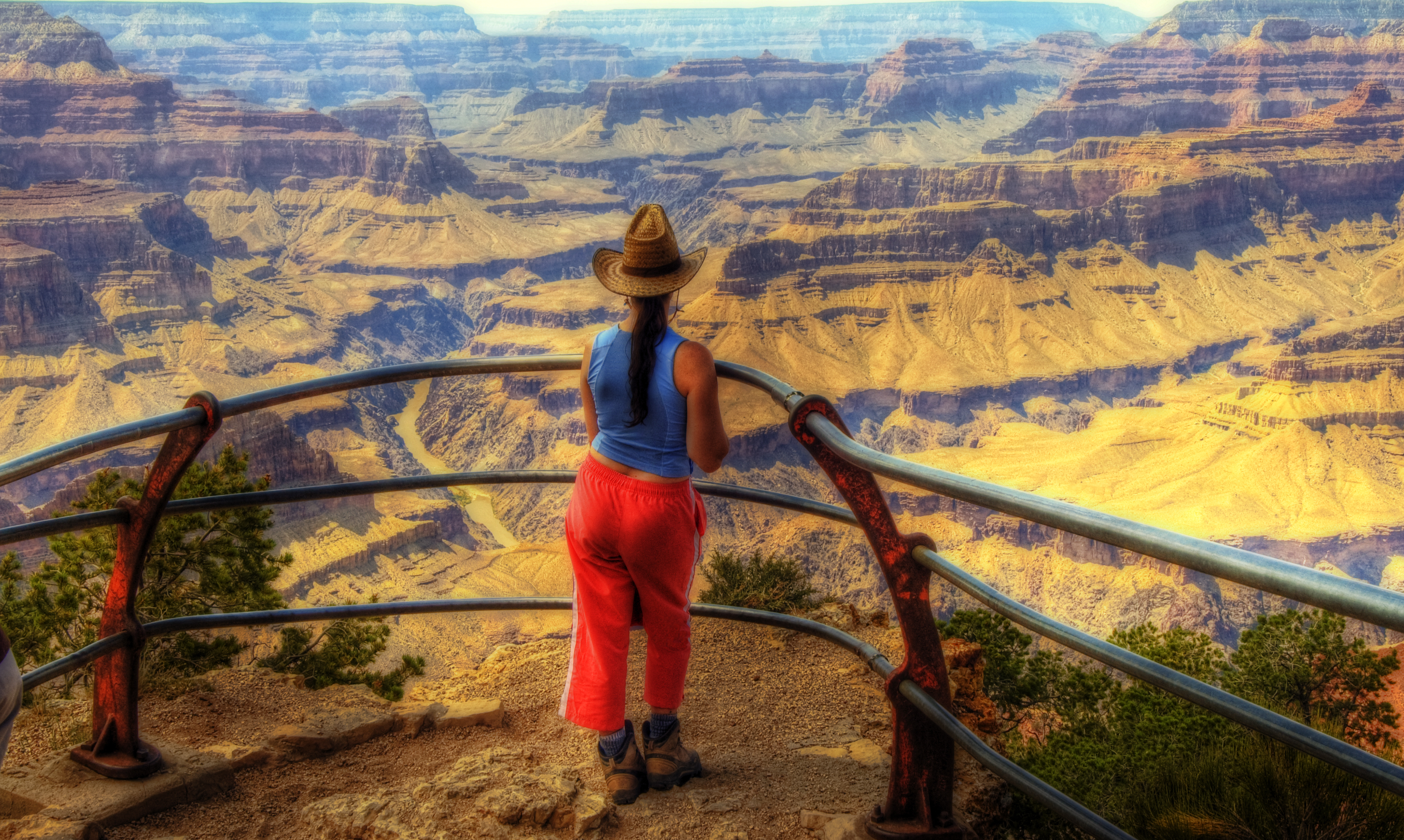
Grand Canyon National Park is one of the United States' oldest national parks and is located in Arizona. Within the park lies the Grand Canyon, a gorge of the Colorado River, considered to be one of the major natural wonders of the world. The park covers 1,902 mi² (4927 km²). Most visitors to the park come to the South Rim, arriving on Arizona Highway 64. The Highway enters the park through the South Entrance, near Tusayan, Arizona, and heads eastward, leaving the park through the East Entrance. All park accommodations are operated by the Xanterra corporation. Park headquarters are at Grand Canyon Village, a short distance from the South Entrance, being also the center of the most popular viewpoints. Some thirty miles of the South Rim are accessible by road. A much smaller venue for tourists is found on the North Rim, accessed by Arizona Highway 67. There is no connection by road between the two, except via the Navajo Bridge, entailing a five-hour drive. The rest of the Grand Canyon is extremely rugged and remote, although many places are accessible by pack trail and backcountry roads. The area around the Grand Canyon became a national monument on January 11, 1908 and was designated national park on February 26, 1919. The creation of the park was an early success of the environmental conservation movement; its National Park status may have helped thwart proposals to dam the Colorado River within its boundaries. (Lack of this fame may have enabled Glen Canyon Dam to be built upriver, flooding Glen Canyon and creating Lake Powell.) UNESCO has declared it as a World Heritage Site. The Grand Canyon itself, including its extensive system of tributary canyons, is valued for the spectacular combination of large size, depth, and the exposed layering of colorful rocks dating back to Precambrian times. It was created through the incision of the Colorado River and its tributaries after the Colorado Plateau was uplifted and the Colorado River system developed along its present path.
|
| Date | |
| Source | traveller |
| Author | Wolfgang Staudt from Saarbruecken, Germany |
Licensing[edit]
.jpg&action=edit§ion=2)
- You are free:
- to share – to copy, distribute and transmit the work
- to remix – to adapt the work
- Under the following conditions:
- attribution – You must give appropriate credit, provide a link to the license, and indicate if changes were made. You may do so in any reasonable manner, but not in any way that suggests the licensor endorses you or your use.
| This image, originally posted to Flickr, was reviewed on 29 January 2013 by the administrator or reviewer File Upload Bot (Magnus Manske), who confirmed that it was available on Flickr under the stated license on that date. |
File history
Click on a date/time to view the file as it appeared at that time.
| Date/Time | Thumbnail | Dimensions | User | Comment | |
|---|---|---|---|---|---|
| current | 17:43, 29 January 2013 | | 3,008 × 1,801 (4.85 MB) | File Upload Bot (Magnus Manske) (talk | contribs) | Transferred from Flickr by User:russavia |
You cannot overwrite this file.
File usage on Commons
There are no pages that use this file.
.jpg&oldid=663656305)