File:The Platt District is located at the western edge of the eastern deciduous forest and western plains grassland, and, as a (ae71ac84-1162-4825-8c5f-a857619e4f53).jpg
Jump to navigation
Jump to search

Size of this preview: 800 × 533 pixels. Other resolutions: 320 × 213 pixels | 640 × 427 pixels | 1,024 × 683 pixels | 1,280 × 853 pixels | 2,560 × 1,707 pixels | 5,472 × 3,648 pixels.
Original file (5,472 × 3,648 pixels, file size: 7.17 MB, MIME type: image/jpeg)
Captions
Captions
Add a one-line explanation of what this file represents

|
The categories of this image need checking. You can do so here.
|
.jpg&action=edit&withJS=MediaWiki:Catcheck.js)
Summary[edit]
.jpg&action=edit§ion=1)
| English: Platt Historic District | ||||
|---|---|---|---|---|
| Photographer |
English: NPS |
|||
| Title |
English: Platt Historic District |
|||
| Description |
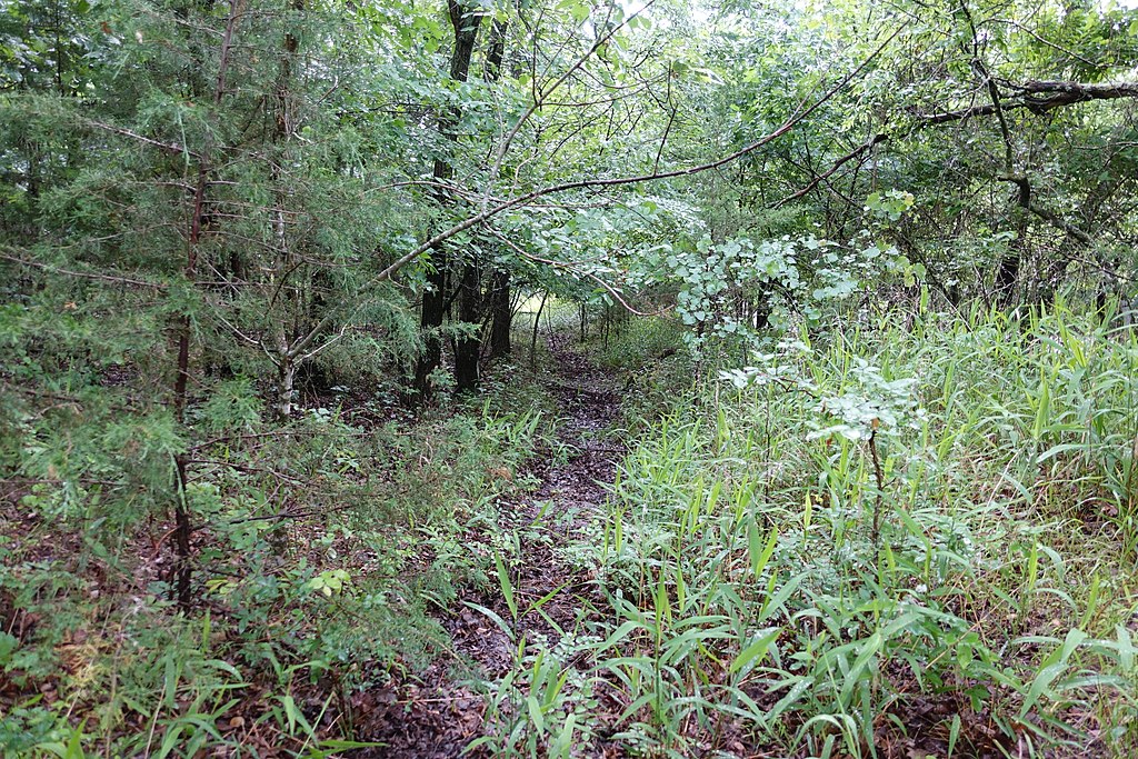
English: Trail in dense vegetation The Platt District is located at the western edge of the eastern deciduous forest and western plains grassland, and, as a transitional zone, contains a rich mixture of woodland and prairie species. More than 600 different plant species have identified in the Platt District in numerous studies spanning more than 60 years.
|
|||
| Depicted place |
English: Chickasaw National Recreation Area, Murray County, Oklahoma |
|||
| Date | Taken on 24 May 2017 | |||
| Accession number | ||||
| Source |
English: NPGallery |
|||
| Permission (Reusing this file) |
|
|||
| Collector | English: NPS |
|||
| Contacts | English: Person: Susan Dolan Organization: Park Cultural Landscapes Program Role: Program Manager Email: susan_dolan@nps.gov |
|||
| NPS Unit Code | CHIC, PCLP, IMR | |||
File history
Click on a date/time to view the file as it appeared at that time.
| Date/Time | Thumbnail | Dimensions | User | Comment | |
|---|---|---|---|---|---|
| current | 23:15, 15 January 2022 | | 5,472 × 3,648 (7.17 MB) | BMacZeroBot (talk | contribs) | Batch upload (Commons:Batch uploading/NPGallery) |
You cannot overwrite this file.
File usage on Commons
The following page uses this file:
.jpg)
.jpg&oldid=674968731)