File:Thameenmap2.jpg
Jump to navigation
Jump to search

Size of this preview: 483 × 599 pixels. Other resolutions: 193 × 240 pixels | 387 × 480 pixels | 964 × 1,196 pixels.
Original file (964 × 1,196 pixels, file size: 264 KB, MIME type: image/jpeg)
Captions
Captions
Add a one-line explanation of what this file represents
| Description |
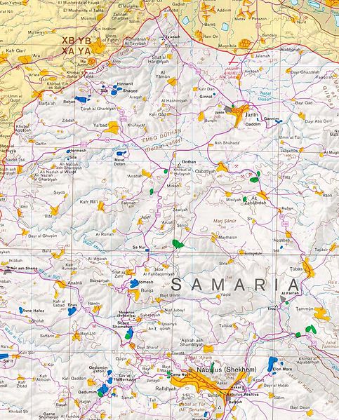
English: Map of West Bank, North of Nablus. |
|||
| Source | From CIA world fact book | |||
| Author | CIA | |||
| Permission (Reusing this file) |
|

Original upload log[edit]
The original description page was here. All following user names refer to en.wikipedia.
- 2006-04-14 17:05 Thameen 964×1196× (270091 bytes) West Bank, North of Nablus. From CIA world fact book
File history
Click on a date/time to view the file as it appeared at that time.
| Date/Time | Thumbnail | Dimensions | User | Comment | |
|---|---|---|---|---|---|
| current | 07:29, 16 May 2014 | | 964 × 1,196 (264 KB) | Rcbutcher (talk | contribs) | Transferred from en.wikipedia |
You cannot overwrite this file.
File usage on Commons
The following page uses this file:
File usage on other wikis
The following other wikis use this file:
- Usage on en.wikipedia.org