File:Taiwan ROC political division map Nantou County.svg
Jump to navigation
Jump to search

Size of this PNG preview of this SVG file: 425 × 600 pixels. Other resolutions: 170 × 240 pixels | 340 × 480 pixels | 544 × 768 pixels | 725 × 1,024 pixels | 1,451 × 2,048 pixels | 850 × 1,200 pixels.
Original file (SVG file, nominally 850 × 1,200 pixels, file size: 119 KB)
Captions
Captions
Add a one-line explanation of what this file represents
Summary[edit]
| Description |
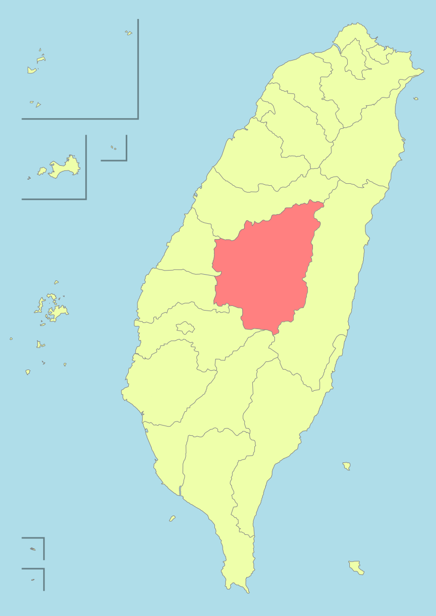
English: Nantou_County, TW |
| Source | Own work |
| Author | Luuva |
Licensing[edit]
I, the copyright holder of this work, hereby publish it under the following license:
This file is licensed under the Creative Commons Attribution-Share Alike 3.0 Unported license.
- You are free:
- to share – to copy, distribute and transmit the work
- to remix – to adapt the work
- Under the following conditions:
- attribution – You must give appropriate credit, provide a link to the license, and indicate if changes were made. You may do so in any reasonable manner, but not in any way that suggests the licensor endorses you or your use.
- share alike – If you remix, transform, or build upon the material, you must distribute your contributions under the same or compatible license as the original.
File history
Click on a date/time to view the file as it appeared at that time.
| Date/Time | Thumbnail | Dimensions | User | Comment | |
|---|---|---|---|---|---|
| current | 05:37, 24 December 2010 | | 850 × 1,200 (119 KB) | A-lú-mih (talk | contribs) | n |
| 03:53, 15 December 2009 |  | 850 × 1,200 (163 KB) | A-lú-mih (talk | contribs) | color | |
| 10:03, 31 July 2008 |  | 850 × 1,200 (161 KB) | A-lú-mih (talk | contribs) | {{Information |Description= |Source= |Date= |Author= |Permission= |other_versions= }} | |
| 19:01, 28 July 2008 |  | 850 × 1,200 (407 KB) | A-lú-mih (talk | contribs) | {{Information |Description={{en|1=Nantou_County, TW}} |Source=Own work by uploader |Author=Luuva |Date= |Permission= |other_versions= }} {{ImageUpload|full}} Category:SVG maps of Taiwan |
You cannot overwrite this file.
File usage on Commons
The following 21 pages use this file:
- 中華民國
- User:A-lú-mih/gallery/TW
- Category:Administrative divisions in Nantou County
- Category:Births in Nantou
- Category:Dams in Nantou
- Category:Education in Nantou
- Category:Elections in Nantou County
- Category:Elementary schools in Nantou
- Category:Emperor Guan temples in Nantou
- Category:Landforms of Nantou
- Category:Maps of Nantou County
- Category:Nantou County
- Category:People of Nantou
- Category:Politics of Nantou County
- Category:Provincial highways in Nantou
- Category:Religion in Nantou
- Category:Roads in Nantou County
- Category:Schools in Nantou
- Category:Senior vocational schools in Nantou
- Category:Views of Nantou
- Category:Visitor attractions in Nantou County
File usage on other wikis
The following other wikis use this file:
- Usage on ar.wikipedia.org
- Usage on cdo.wikipedia.org
- Usage on cs.wikipedia.org
- Usage on en.wikipedia.org
- Nantou County
- Puli, Nantou
- Nantou City
- Jiji, Nantou
- Zhushan, Nantou
- Lugu, Nantou
- Yuchi, Nantou
- Mingjian
- Template:Taiwan Nantou divisions
- Caotun
- Guoxing
- Zhongliao
- Ren'ai, Nantou
- Shuili
- Xinyi, Nantou
- Category:Populated places in Nantou County
- Portal:Taiwan/Geography
- User:Alettachi/sandbox
- Results of the 2018 Taiwanese magistrate/mayor elections
- User:AlanM1/sandbox/old
- Usage on eu.wikipedia.org
- Usage on fi.wikipedia.org
- Usage on frr.wikipedia.org
- Usage on gan.wikipedia.org
- Usage on hak.wikipedia.org
- Usage on he.wikipedia.org
- Usage on incubator.wikimedia.org
- Usage on ja.wikipedia.org
View more global usage of this file.