File:TX130atCR119.jpg
Jump to navigation
Jump to search
No higher resolution available.
TX130atCR119.jpg (728 × 379 pixels, file size: 98 KB, MIME type: image/jpeg)
Captions
Captions
Add a one-line explanation of what this file represents
Summary
[edit]
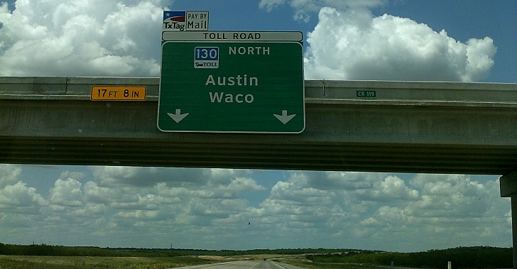
| Description | Texas Highway 130 at County Road 119 (Tschoepe Road) west of Kingsbury |
| Date | |
| Source | Own work |
| Author | Mapsax |
| Camera location | | View this and other nearby images on: OpenStreetMap |
|---|
Licensing
[edit]
This file is licensed under the Creative Commons Attribution 3.0 Unported license.
- You are free:
- to share – to copy, distribute and transmit the work
- to remix – to adapt the work
- Under the following conditions:
- attribution – You must give appropriate credit, provide a link to the license, and indicate if changes were made. You may do so in any reasonable manner, but not in any way that suggests the licensor endorses you or your use.
File history
Click on a date/time to view the file as it appeared at that time.
| Date/Time | Thumbnail | Dimensions | User | Comment | |
|---|---|---|---|---|---|
| current | 13:05, 3 August 2013 | | 728 × 379 (98 KB) | Mapsax (talk | contribs) | {{Information |Description=Texas Highway 130 at County Road 119 (Tschoepe Road) west of Kingsbury |Source={{own}} |Date=2013-07-09 |Author=Mapsax |Permission= |other_versions= }} {{Location dec|1=29.6418|2=-97.8861}} [[Category:Guadalu... |
You cannot overwrite this file.
File usage on Commons
The following page uses this file:
File usage on other wikis
The following other wikis use this file:
- Usage on en.wikipedia.org