File:Stdavids pembrokeshire map.svg
Jump to navigation
Jump to search

Size of this PNG preview of this SVG file: 452 × 466 pixels. Other resolutions: 233 × 240 pixels | 466 × 480 pixels | 745 × 768 pixels | 993 × 1,024 pixels | 1,986 × 2,048 pixels.
Original file (SVG file, nominally 452 × 466 pixels, file size: 32 KB)
Captions
Captions
Add a one-line explanation of what this file represents
Summary[edit]
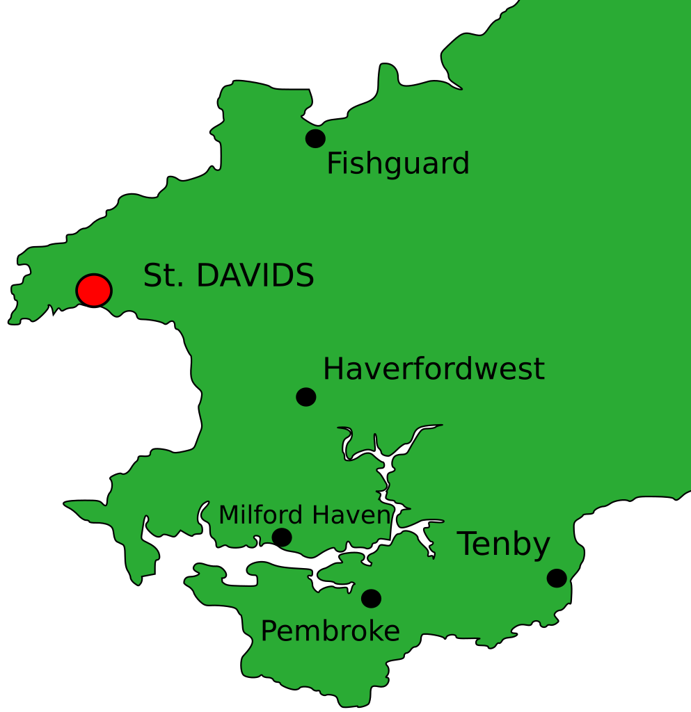
| Description | Map of Pembrokeshire, with St. Davids made more prominent. |
| Date | |
| Source | Own work |
| Author | Alexander Jones |
| Permission (Reusing this file) |
All Rights Released |
AlexJ
| |||||||||||||
Licensing[edit]
| I, the copyright holder of this work, release this work into the public domain. This applies worldwide. In some countries this may not be legally possible; if so: I grant anyone the right to use this work for any purpose, without any conditions, unless such conditions are required by law. |
File history
Click on a date/time to view the file as it appeared at that time.
| Date/Time | Thumbnail | Dimensions | User | Comment | |
|---|---|---|---|---|---|
| current | 19:56, 4 March 2007 | | 452 × 466 (32 KB) | AlexJ (talk | contribs) | Corrected locations |
| 15:45, 20 February 2007 |  | 452 × 466 (32 KB) | AlexJ (talk | contribs) | {{Information |Description=Map of Pembrokeshire, with St. Davids made more prominent. |Source=Own Work |Date=20th February 2007 |Author=Alexander Jones |Permission=All Rights Released |other_versions= }} {{Alexj2002InkscapePD}} == Licensing == {{PD-self |
You cannot overwrite this file.
File usage on Commons
The following page uses this file: