File:Southbound Parks Highway approaching Fairview Loop Road and Hyer Road interchange.jpg
Jump to navigation
Jump to search

Size of this preview: 800 × 533 pixels. Other resolutions: 320 × 213 pixels | 640 × 427 pixels | 1,024 × 683 pixels | 1,280 × 853 pixels | 2,560 × 1,707 pixels | 5,616 × 3,744 pixels.
Original file (5,616 × 3,744 pixels, file size: 4.36 MB, MIME type: image/jpeg)
Captions
Captions
Add a one-line explanation of what this file represents
Summary[edit]
| Description |
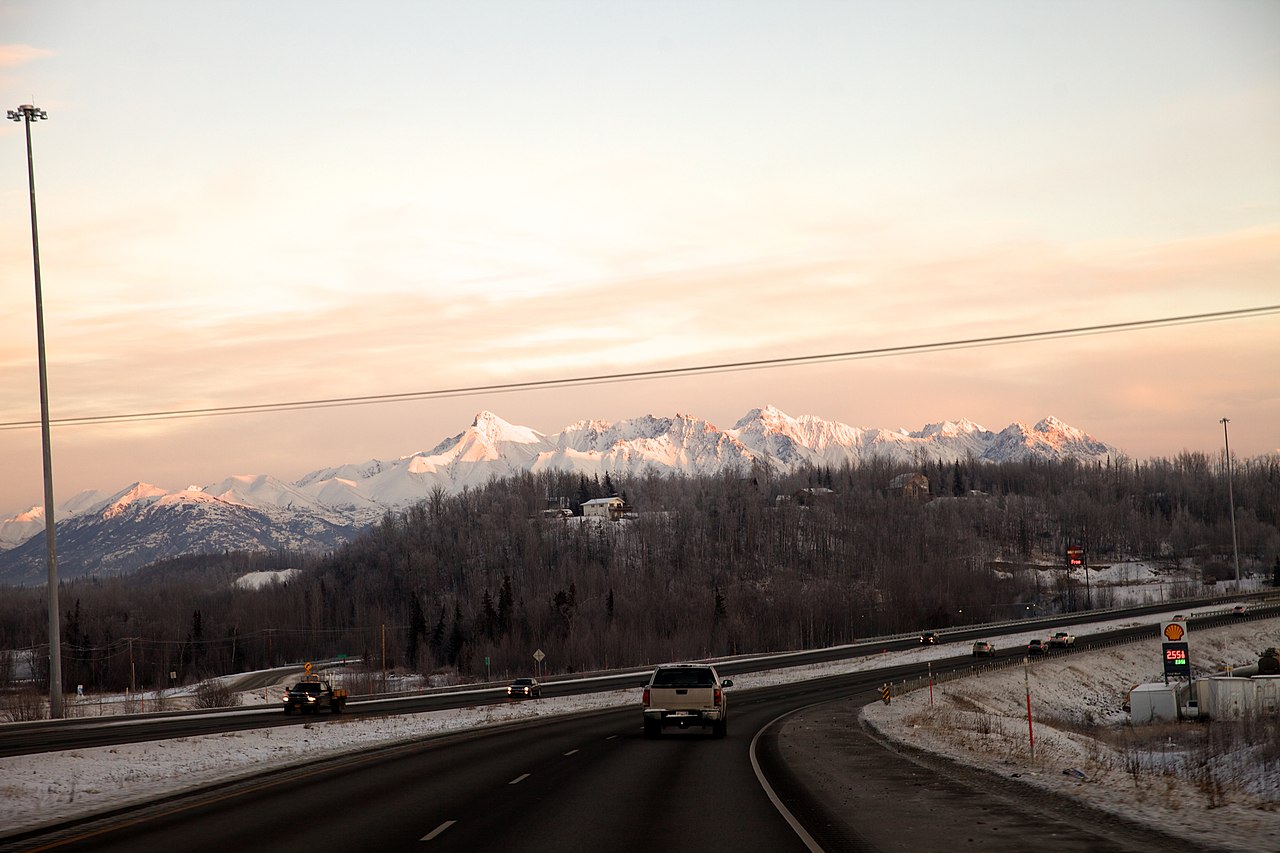
English: The southbound Parks Highway approaching the interchange accessing Fairview Loop Road and Hyer Road east of Wasilla, Alaska. The area shown in mostly in the Gateway census-designated place boundaries, with a small portion at left in the South Lakes CDP. |
| Date | Taken on 21 December 2016 15:16:39 |
| Source | https://www.flickr.com/photos/mmmavocado/31002004783/ |
| Author | Malcolm Manners |
Licensing[edit]
This file is licensed under the Creative Commons Attribution 2.0 Generic license.
- You are free:
- to share – to copy, distribute and transmit the work
- to remix – to adapt the work
- Under the following conditions:
- attribution – You must give appropriate credit, provide a link to the license, and indicate if changes were made. You may do so in any reasonable manner, but not in any way that suggests the licensor endorses you or your use.
| This image was originally posted to Flickr by mmmavocado at https://flickr.com/photos/10239508@N07/31002004783. It was reviewed on 12 April 2022 by FlickreviewR 2 and was confirmed to be licensed under the terms of the cc-by-2.0. |
File history
Click on a date/time to view the file as it appeared at that time.
| Date/Time | Thumbnail | Dimensions | User | Comment | |
|---|---|---|---|---|---|
| current | 10:09, 12 April 2022 | | 5,616 × 3,744 (4.36 MB) | RadioKAOS (talk | contribs) | Uploaded a work by Malcolm Manners from https://www.flickr.com/photos/mmmavocado/31002004783/ with UploadWizard |
You cannot overwrite this file.
File usage on Commons
The following page uses this file:
File usage on other wikis
The following other wikis use this file:
- Usage on en.wikipedia.org