File:Southampton VA courthouse.JPG
Jump to navigation
Jump to search
Size of this preview: 792 × 600 pixels. Other resolutions: 317 × 240 pixels | 634 × 480 pixels | 1,014 × 768 pixels | 1,280 × 969 pixels | 2,674 × 2,025 pixels.
Original file (2,674 × 2,025 pixels, file size: 1.54 MB, MIME type: image/jpeg)
Captions
Captions
Add a one-line explanation of what this file represents
Summary[edit]
| Description |
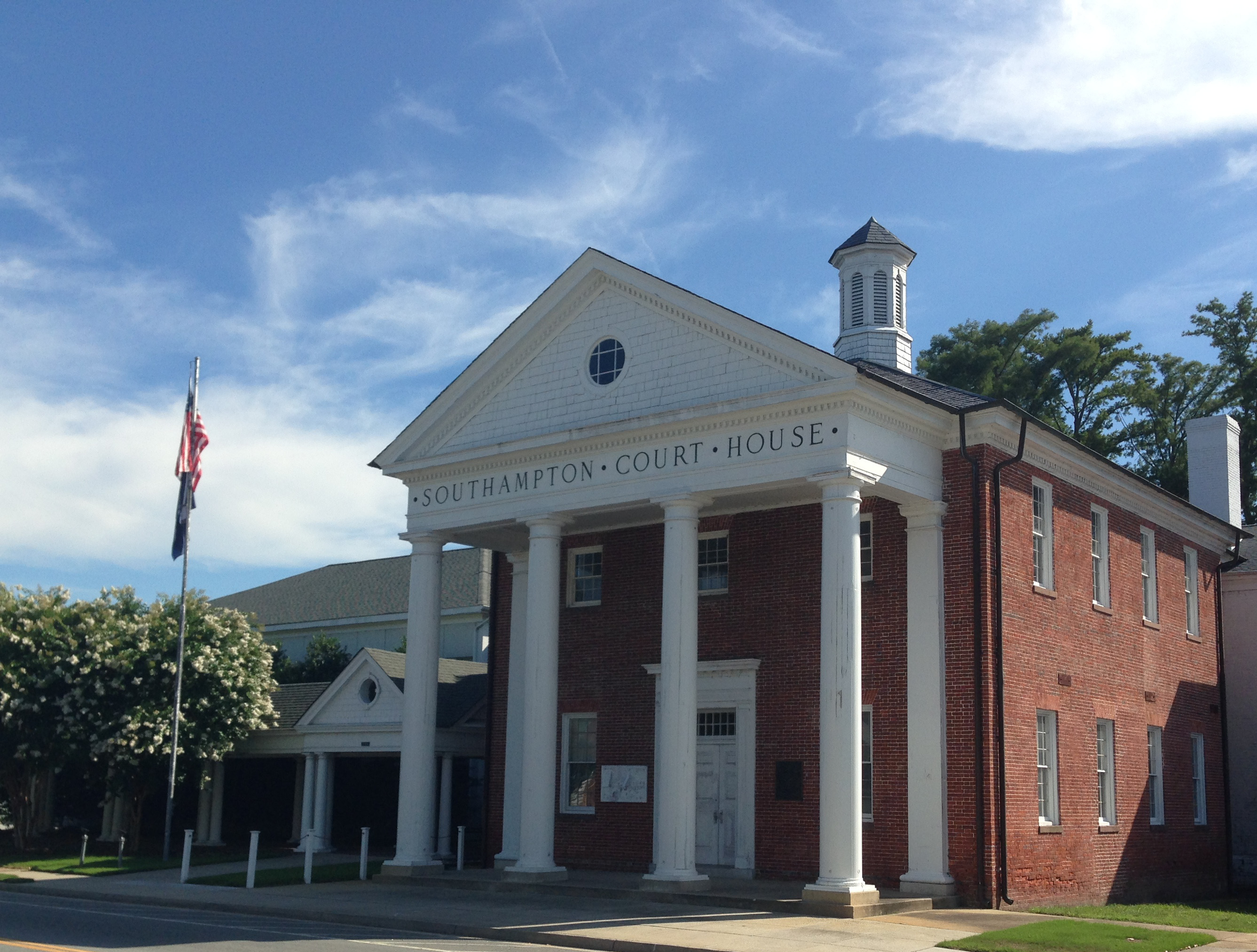
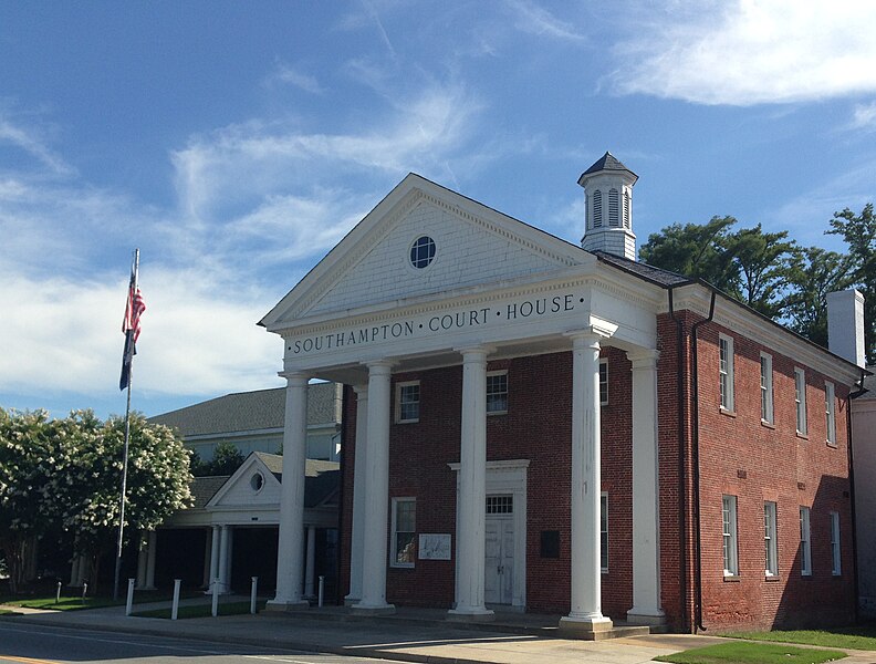
English: County courthouse, Southampton Virginia |
| Date | |
| Source | Own work |
| Author | Mojo Hand |
| Camera location | | View this and other nearby images on: OpenStreetMap |
|---|
Licensing[edit]
I, the copyright holder of this work, hereby publish it under the following license:
This file is licensed under the Creative Commons Attribution-Share Alike 4.0 International license.
- You are free:
- to share – to copy, distribute and transmit the work
- to remix – to adapt the work
- Under the following conditions:
- attribution – You must give appropriate credit, provide a link to the license, and indicate if changes were made. You may do so in any reasonable manner, but not in any way that suggests the licensor endorses you or your use.
- share alike – If you remix, transform, or build upon the material, you must distribute your contributions under the same or compatible license as the original.
File history
Click on a date/time to view the file as it appeared at that time.
| Date/Time | Thumbnail | Dimensions | User | Comment | |
|---|---|---|---|---|---|
| current | 16:15, 6 September 2014 | | 2,674 × 2,025 (1.54 MB) | Mojo Hand (talk | contribs) | User created page with UploadWizard |
You cannot overwrite this file.
File usage on Commons
The following 7 pages use this file:
- Category:Births in Southampton County, Virginia
- Category:Maps of Southampton County, Virginia
- Category:National Register of Historic Places in Southampton County, Virginia
- Category:People of Southampton County, Virginia
- Category:Populated places in Southampton County, Virginia
- Category:Southampton County, Virginia
- Category:Towns in Southampton County, Virginia
File usage on other wikis
The following other wikis use this file:
- Usage on ar.wikipedia.org
- Usage on ceb.wikipedia.org
- Usage on ce.wikipedia.org
- Usage on cy.wikipedia.org
- Usage on de.wikipedia.org
- Usage on en.wikipedia.org
- Usage on en.wikivoyage.org
- Usage on es.wikipedia.org
- Usage on fr.wikipedia.org
- Usage on hu.wikipedia.org
- Usage on it.wikivoyage.org
- Usage on ko.wikipedia.org
- Usage on no.wikipedia.org
- Usage on pl.wikipedia.org
- Usage on pt.wikipedia.org
- Usage on ro.wikipedia.org
- Usage on ru.wikipedia.org
- Usage on sr.wikipedia.org
- Usage on sv.wikipedia.org
- Usage on tr.wikipedia.org
- Usage on tt.wikipedia.org
- Usage on ur.wikipedia.org
- Usage on www.wikidata.org
- Usage on zh-min-nan.wikipedia.org