File:South Yorkshire UK location map.svg
Jump to navigation
Jump to search

Size of this PNG preview of this SVG file: 800 × 547 pixels. Other resolutions: 320 × 219 pixels | 640 × 437 pixels | 1,024 × 700 pixels | 1,280 × 875 pixels | 2,560 × 1,750 pixels | 1,425 × 974 pixels.
Original file (SVG file, nominally 1,425 × 974 pixels, file size: 1.47 MB)
Captions
Captions
Add a one-line explanation of what this file represents
| Description |
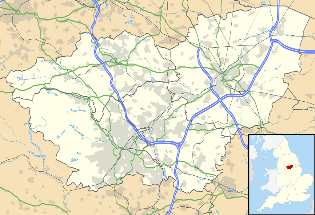
Map of South Yorkshire, UK with the following information shown:
Equirectangular map projection on WGS 84 datum, with N/S stretched 165% Geographic limits:
|
| Date | |
| Source |
|
| Author | Nilfanion, created using Ordnance Survey data |
| Permission (Reusing this file) |
This file is licensed under the Creative Commons Attribution-Share Alike 3.0 Unported license. Attribution: Contains Ordnance Survey data © Crown copyright and database right
|
| Other versions | File:South Yorkshire UK district map (blank).svg - Blank map |
| SVG development |
.svg)
File history
Click on a date/time to view the file as it appeared at that time.
| Date/Time | Thumbnail | Dimensions | User | Comment | |
|---|---|---|---|---|---|
| current | 19:12, 26 September 2010 | | 1,425 × 974 (1.47 MB) | Nilfanion (talk | contribs) | {{Information |Description=Map of South Yorkshire, UK with the following information shown: *Administrative borders *Coastline, lakes and rivers *Roads and railways *Urban areas Equirectangular map projection on WGS 84 datum, with N |
You cannot overwrite this file.
File usage on Commons
The following page uses this file:
File usage on other wikis
The following other wikis use this file:
- Usage on ar.wikipedia.org
- Usage on bg.wikipedia.org
- Usage on ceb.wikipedia.org
- Usage on en.wikipedia.org
- Sheffield
- Roche Abbey
- Wentworth Woodhouse
- Conisbrough Castle
- Conisbrough
- Doncaster
- Anston
- Battle of Orgreave
- Barnsley
- Dore, South Yorkshire
- Ecclesall
- Stocksbridge
- Bradfield, South Yorkshire
- Dinnington, South Yorkshire
- Great Sheffield Flood
- Dunford Bridge
- Sheffield Botanical Gardens
- Woodlands, South Yorkshire
- Sheffield City Hall
- Askern
- Penistone
- Weston Park Museum
- Bawtry
- Handsworth, South Yorkshire
- Grimethorpe
- Darton
- Thorne, South Yorkshire
- Tickhill
- Beauchief Abbey
- Green Moor
- Oxspring
- Darfield, South Yorkshire
- Woodsetts
- Firbeck
- Austerfield
- Finningley
- Blaxton
- Hatfield, South Yorkshire
- Dunsville
- Moorends
- Sykehouse
- Pincheon Green
- Norton, Doncaster
- Campsall
- Hampole
- Skelbrooke
- Hooton Pagnell
View more global usage of this file.