File:Snow at the Kokomo Country Club.jpg
Jump to navigation
Jump to search

Size of this preview: 800 × 450 pixels. Other resolutions: 320 × 180 pixels | 640 × 360 pixels | 1,024 × 576 pixels | 1,280 × 720 pixels | 2,816 × 1,584 pixels.
Original file (2,816 × 1,584 pixels, file size: 1.19 MB, MIME type: image/jpeg)
Captions
Captions
Add a one-line explanation of what this file represents
|
This is an image of a place or building that is listed on the National Register of Historic Places in the United States of America. Its reference number is 6000854. |
| Camera location | | View this and other nearby images on: OpenStreetMap |
|---|
| Description |
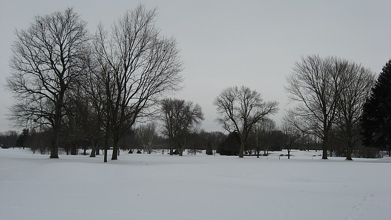
English: Snow-covered fairways at the Kokomo Country Club, seen looking northeast from the intersection of Park Road and West Boulevard on the southwestern side of Kokomo, Indiana, United States. The golf course is listed on the National Register of Historic Places. |
||
| Date | Taken on 17 January 2011 | ||
| Source | Own work | ||
| Author | Nyttend | ||
| Permission (Reusing this file) |
|
File history
Click on a date/time to view the file as it appeared at that time.
| Date/Time | Thumbnail | Dimensions | User | Comment | |
|---|---|---|---|---|---|
| current | 02:39, 25 January 2011 | | 2,816 × 1,584 (1.19 MB) | Nyttend (talk | contribs) | {{Location|40|27|43.2|N|86|8|44.7|W}} {{Information |Description={{en|Snow-covered fairways at the {{w|Kokomo Country Club}}, seen looking northeast from the intersection of Park Road and West Boulevard on the southwestern side of {{w|Kokomo, Indiana|Koko |
You cannot overwrite this file.
File usage on Commons
There are no pages that use this file.
File usage on other wikis
The following other wikis use this file:
- Usage on en.wikipedia.org
- Usage on www.wikidata.org