File:Shingen-Bomichi of the historic military road Aerial Photograph.JPG
Jump to navigation
Jump to search

Size of this preview: 800 × 449 pixels. Other resolutions: 320 × 180 pixels | 640 × 359 pixels | 1,024 × 575 pixels | 1,280 × 719 pixels | 2,379 × 1,336 pixels.
Original file (2,379 × 1,336 pixels, file size: 2.58 MB, MIME type: image/jpeg)
Captions
Captions
Add a one-line explanation of what this file represents
Summary
[edit]
| Description |
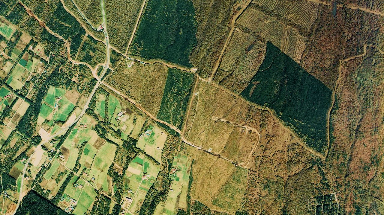
English: Shingen-Bomichi of the historic military road Aerial Photograph
日本語: 信玄棒道(山梨県北杜市小淵沢町地区)の空中写真。ccb-76-13_c6_26を使用。 |
| Date | |
| Source | 国土情報ウェブマッピングシステム |
| Author | 国土交通省 |
Licensing
[edit]

|
The copyright holder of this file, the Ministry of Land, Infrastructure, Transport and Tourism of Japan, allows anyone to use it for any purpose, provided that the copyright holder is properly attributed. Redistribution, derivative work, commercial use, and all other use is permitted. |
Attribution:
Copyright © National Land Image Information (Color Aerial Photographs), Ministry of Land, Infrastructure, Transport and Tourism
|
 |
This image is copyrighted by the Ministry of Land, Infrastructure, Transport and Tourism of Japan. For terms of use, see the stipulation to use of National Land Information (in Japanese) and message from MLIT (in Japanese and English). When you display this image on an article, include the following phrase in the description: "Made based on National Land Image Information (Color Aerial Photographs), Ministry of Land, Infrastructure, Transport and Tourism".
|
File history
Click on a date/time to view the file as it appeared at that time.
| Date/Time | Thumbnail | Dimensions | User | Comment | |
|---|---|---|---|---|---|
| current | 05:52, 4 January 2011 | | 2,379 × 1,336 (2.58 MB) | さかおり (talk | contribs) | {{Information |Description={{en|1=Shingen-Bomichi of the historic military road Aerial Photograph}} {{ja|1=信玄棒道(山梨県北杜市小淵沢町地区)の空中写真。ccb-76-13_c6_26を使用。}} |Source=国土情報ウェブマッピング� |
You cannot overwrite this file.
File usage on Commons
There are no pages that use this file.
File usage on other wikis
The following other wikis use this file:
- Usage on ja.wikipedia.org