File:Shingashi-gawa -Kawagoe 01.jpg
Jump to navigation
Jump to search
Size of this preview: 800 × 600 pixels. Other resolutions: 320 × 240 pixels | 640 × 480 pixels | 1,024 × 768 pixels | 1,280 × 960 pixels | 2,272 × 1,704 pixels.
Original file (2,272 × 1,704 pixels, file size: 2.72 MB, MIME type: image/jpeg)
Captions
Captions
Add a one-line explanation of what this file represents
Summary[edit]
| Description |
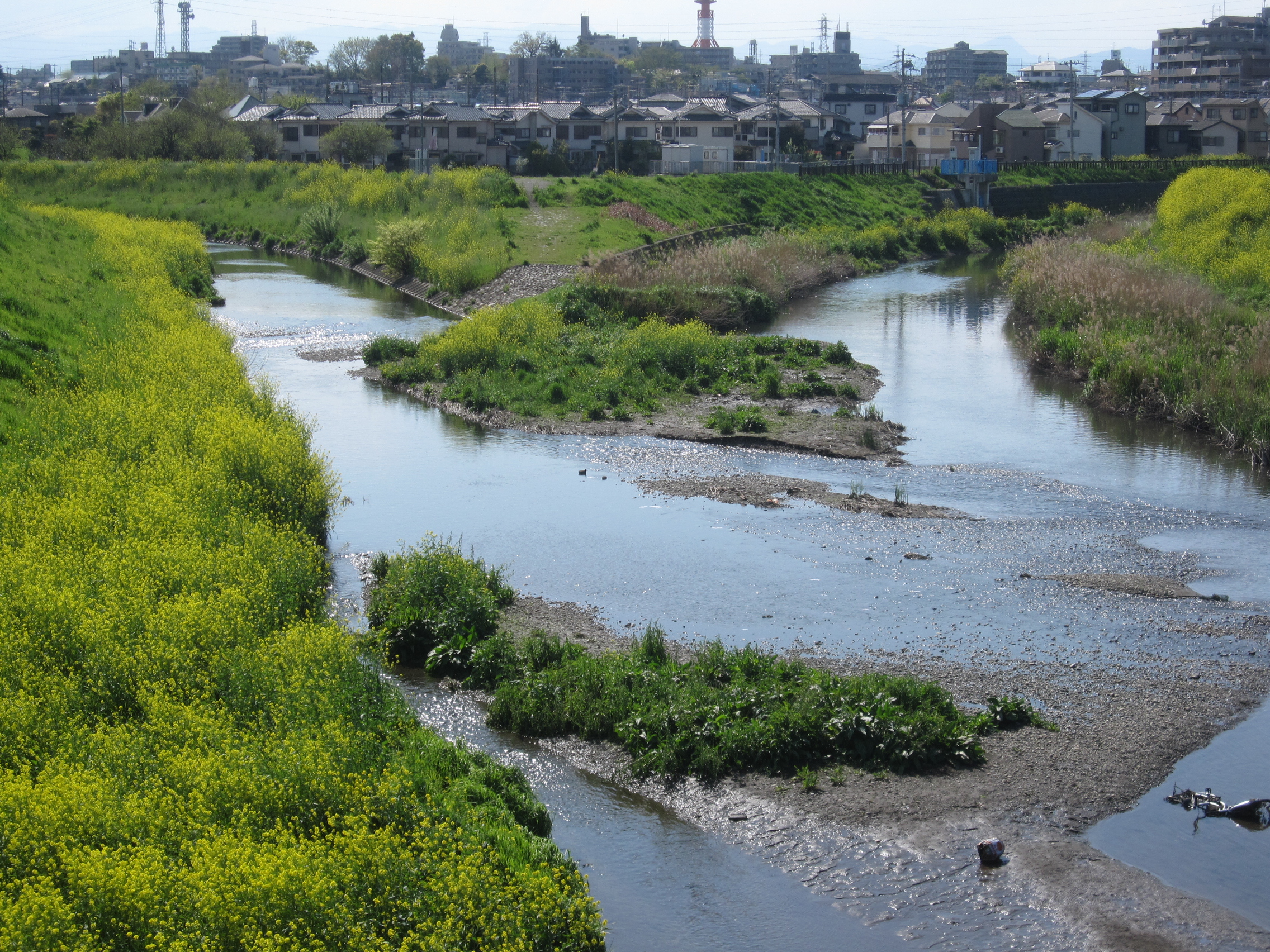
Nederlands: De plek waar de rivieren de Furō (links) en de Shingashi (rechts) samenkomen in Kishimachi 1-Chōme, Kawagoe, vanaf de Ōgi-brug naar het westen gezien.
|
| Date | |
| Source | IMG_2997 |
| Author | Cliff Cheng LF from Tokyo, Japan |
| Camera location | | View this and other nearby images on: OpenStreetMap |
|---|
Licensing[edit]
This file is licensed under the Creative Commons Attribution 2.0 Generic license.
- You are free:
- to share – to copy, distribute and transmit the work
- to remix – to adapt the work
- Under the following conditions:
- attribution – You must give appropriate credit, provide a link to the license, and indicate if changes were made. You may do so in any reasonable manner, but not in any way that suggests the licensor endorses you or your use.
| This image was originally posted to Flickr by CLF at https://www.flickr.com/photos/37102254@N00/4547353581. It was reviewed on 24 April 2010 by FlickreviewR and was confirmed to be licensed under the terms of the cc-by-2.0. |
File history
Click on a date/time to view the file as it appeared at that time.
| Date/Time | Thumbnail | Dimensions | User | Comment | |
|---|---|---|---|---|---|
| current | 17:07, 24 April 2010 | | 2,272 × 1,704 (2.72 MB) | トトト (talk | contribs) | {{Information |Description={{ja|新河岸川。埼玉県川越市。関連地図は[http://www.mapion.co.jp/m/35.8967072222222_139.5000875_8/ こちら]。}}{{en|[[:Category:Shingashi River|Shin |
You cannot overwrite this file.
File usage on Commons
There are no pages that use this file.