File:Satellite image of the March 25, 2021 tornado outbreak.jpg
Jump to navigation
Jump to search

Size of this preview: 711 × 599 pixels. Other resolutions: 285 × 240 pixels | 569 × 480 pixels | 911 × 768 pixels | 1,215 × 1,024 pixels | 2,416 × 2,037 pixels.
Original file (2,416 × 2,037 pixels, file size: 1.18 MB, MIME type: image/jpeg)
Captions
Captions
Add a one-line explanation of what this file represents
Summary[edit]
| Description |
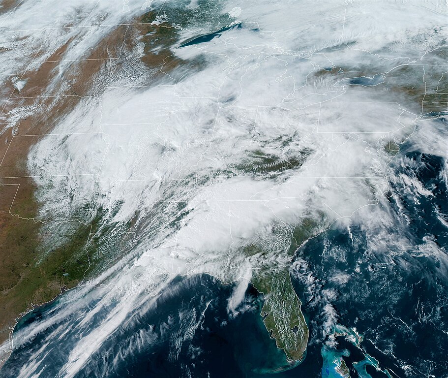
English: Satellite Imagery from GOES-16 of the storm system responsible of the Tornado Outbreak on March 25, 2021 |
| Date | |
| Source | https://cdn.star.nesdis.noaa.gov |
| Author | NOAA |
Licensing[edit]
This image is in the public domain because it contains materials that originally came from the U.S. National Oceanic and Atmospheric Administration, taken or made as part of an employee's official duties.
|
File history
Click on a date/time to view the file as it appeared at that time.
| Date/Time | Thumbnail | Dimensions | User | Comment | |
|---|---|---|---|---|---|
| current | 20:46, 25 March 2021 | | 2,416 × 2,037 (1.18 MB) | TheWxResearcher (talk | contribs) | Uploaded a work by NOAA from https://cdn.star.nesdis.noaa.gov with UploadWizard |
You cannot overwrite this file.
File usage on Commons
The following 2 pages use this file:
File usage on other wikis
The following other wikis use this file:
- Usage on en.wikipedia.org
- Usage on www.wikidata.org