File:Sanikiluaq rocks -b.jpg
Jump to navigation
Jump to search
Size of this preview: 800 × 566 pixels. Other resolutions: 320 × 226 pixels | 640 × 453 pixels | 1,024 × 724 pixels | 1,200 × 849 pixels.
Original file (1,200 × 849 pixels, file size: 542 KB, MIME type: image/jpeg)
Captions
Captions
Add a one-line explanation of what this file represents
Summary[edit]
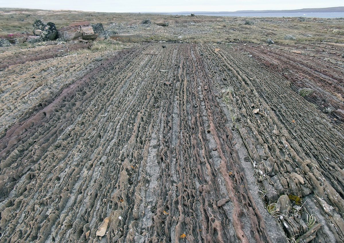
| Description | Layer-cake bedrock, east of Sanikiluaq, Belcher Islands; steeply-dipping, thinly-bedded and 2 billion years old. The other end of the structural 'rainbow' of carbonate rocks some 3 miles or 5 km in distance from the earlier "Stripes" in my 'stream. Do have a look at the flickr map or google earth to see large-scale folding that make these islands what they are. Due or true north view, too. |
| Date | 20 May 2010, 13:59:17 (according to Exif data) |
| Source | Laminated |
| Author | Mike Beauregard from Nunavut, Canada |
| Camera location | | View this and other nearby images on: OpenStreetMap |
|---|
Licensing[edit]
This file is licensed under the Creative Commons Attribution 2.0 Generic license.
- You are free:
- to share – to copy, distribute and transmit the work
- to remix – to adapt the work
- Under the following conditions:
- attribution – You must give appropriate credit, provide a link to the license, and indicate if changes were made. You may do so in any reasonable manner, but not in any way that suggests the licensor endorses you or your use.
| This image was originally posted to Flickr by subarcticmike at https://www.flickr.com/photos/31856336@N03/4946793773. It was reviewed on 28 January 2011 by FlickreviewR and was confirmed to be licensed under the terms of the cc-by-2.0. |
File history
Click on a date/time to view the file as it appeared at that time.
| Date/Time | Thumbnail | Dimensions | User | Comment | |
|---|---|---|---|---|---|
| current | 03:18, 28 January 2011 | | 1,200 × 849 (542 KB) | FlickreviewR (talk | contribs) | Replacing image by its original image from Flickr |
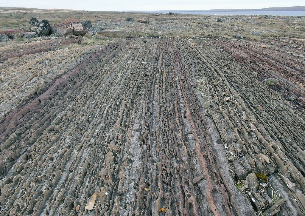
| 02:02, 28 January 2011 |  | 240 × 170 (45 KB) | Geo Swan (talk | contribs) | {{Information |Description=Layer-cake bedrock, east of Sanikiluaq, Belcher Islands; steeply-dipping, thinly-bedded and 2 billion years old. The other end of the structural 'rainbow' of carbonate rocks some 3 miles or 5 km in distance from the earlier "Str |
You cannot overwrite this file.
File usage on Commons
There are no pages that use this file.
File usage on other wikis
The following other wikis use this file:
- Usage on nl.wikipedia.org