File:Sanchong skyline viewed from Dadaocheng Wharf 20141122.jpg
Jump to navigation
Jump to search

Size of this preview: 800 × 600 pixels. Other resolutions: 320 × 240 pixels | 640 × 480 pixels | 1,024 × 768 pixels | 1,280 × 960 pixels | 2,560 × 1,920 pixels | 3,264 × 2,448 pixels.
Original file (3,264 × 2,448 pixels, file size: 1.89 MB, MIME type: image/jpeg)
Captions
Captions
Add a one-line explanation of what this file represents
Summary[edit]
| Description |
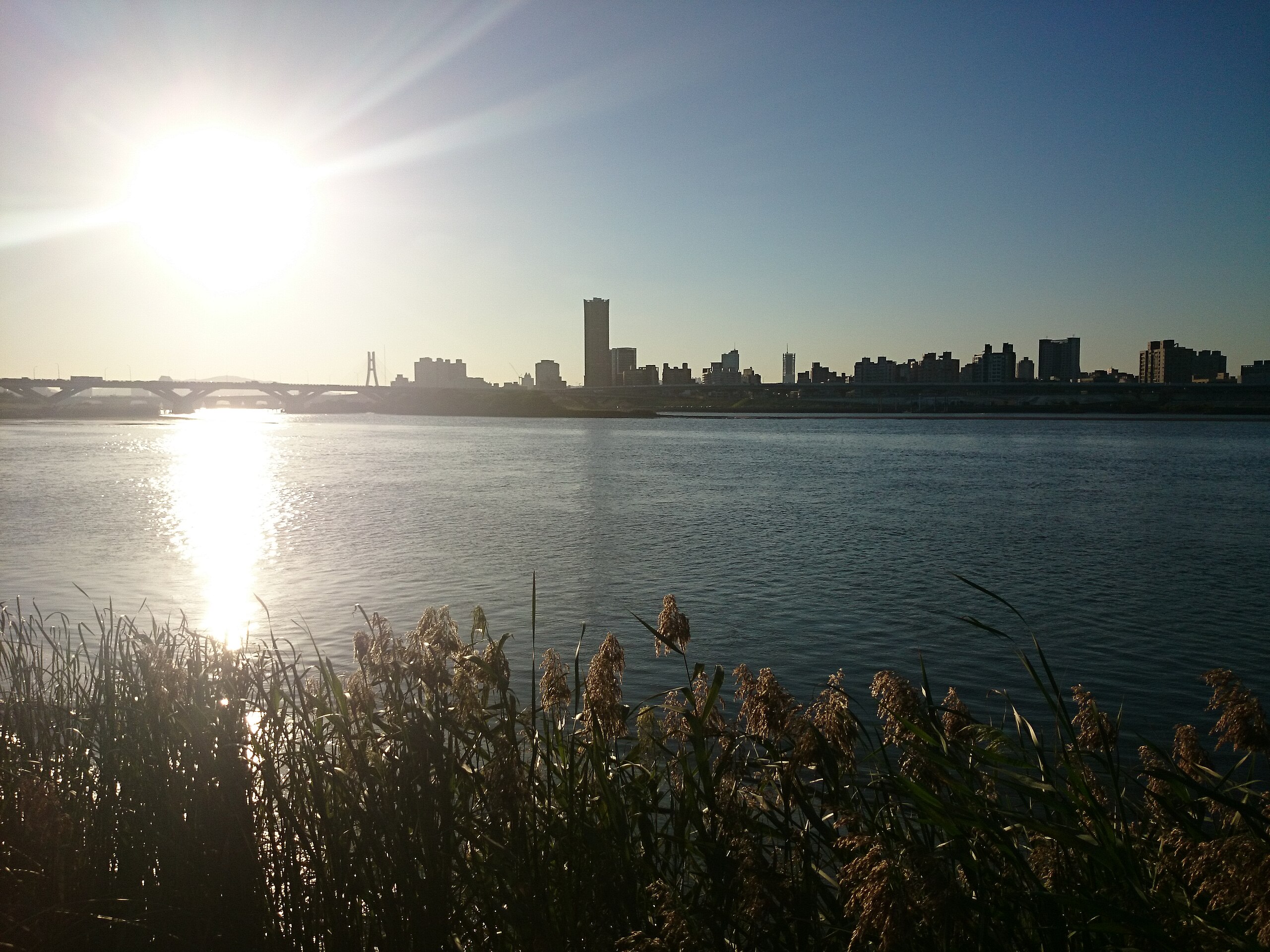
English: Skyline of Sanchong District, New Taipei City viewed from Dadaocheng Wharf
中文(臺灣):從大稻埕碼頭眺望新北市三重區天際線 |
| Date | |
| Source | https://www.flickr.com/photos/pipergu/15664135458/ |
| Author | yc ku |
| Camera location | | View this and other nearby images on: OpenStreetMap |
|---|
Licensing[edit]
This file is licensed under the Creative Commons Attribution 2.0 Generic license.
- You are free:
- to share – to copy, distribute and transmit the work
- to remix – to adapt the work
- Under the following conditions:
- attribution – You must give appropriate credit, provide a link to the license, and indicate if changes were made. You may do so in any reasonable manner, but not in any way that suggests the licensor endorses you or your use.
| This image was originally posted to Flickr by N+4 at https://flickr.com/photos/41384513@N00/15664135458. It was reviewed on 10 July 2020 by FlickreviewR 2 and was confirmed to be licensed under the terms of the cc-by-2.0. |
File history
Click on a date/time to view the file as it appeared at that time.
| Date/Time | Thumbnail | Dimensions | User | Comment | |
|---|---|---|---|---|---|
| current | 00:57, 10 July 2020 | | 3,264 × 2,448 (1.89 MB) | Heeheemalu (talk | contribs) | Uploaded a work by yc ku from https://www.flickr.com/photos/pipergu/15664135458/ with UploadWizard |
You cannot overwrite this file.
File usage on Commons
There are no pages that use this file.