File:SBB 2016.svg
Jump to navigation
Jump to search

Size of this PNG preview of this SVG file: 800 × 465 pixels. Other resolutions: 320 × 186 pixels | 640 × 372 pixels | 1,024 × 595 pixels | 1,280 × 743 pixels | 2,560 × 1,487 pixels | 1,615 × 938 pixels.
Original file (SVG file, nominally 1,615 × 938 pixels, file size: 2.99 MB)
Captions
Captions
Add a one-line explanation of what this file represents
| Description |
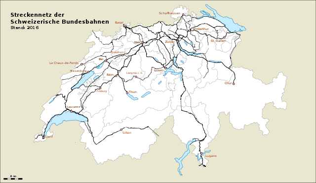
Deutsch: Karte des Streckennetzes der Schweizerischen Bundesbahnen (SBB)
English: Map of Swiss Federal Railways network
Français : Carte du réseau des Chemins de fer fédéraux suisses (CFF)
Italiano: Carta della rete ferroviaria delle Ferrovie Federali Svizzere (FFS) |
| Date | |
| Source |
Own work Map was created using Open Street Map |
| Author | de:Benutzer:Pechristener |
| Permission (Reusing this file) |
Map data (c) OpenStreetMap (and) contributors, CC-BY-SA This file is licensed under the Creative Commons Attribution-Share Alike 2.0 Generic license.
|
| Other versions |
Stand 2015:  |
This W3C-unspecified vector image was created with Inkscape .
File history
Click on a date/time to view the file as it appeared at that time.
| Date/Time | Thumbnail | Dimensions | User | Comment | |
|---|---|---|---|---|---|
| current | 07:53, 15 October 2016 | | 1,615 × 938 (2.99 MB) | Pechristener (talk | contribs) | {{Information |Description = {{de|Karte des Streckennetzes der Schweizerischen Bundesbahnen (SBB)}} {{en|Map of Swiss Federal Railways network}} {{fr|Carte du réseau des [[:fr:Chemins... |
You cannot overwrite this file.
File usage on Commons
The following 7 pages use this file:
- User:Chumwa/OgreBot/Potential transport maps/2016 October 11-20
- User:Chumwa/OgreBot/Public transport information/2016 October 11-20
- User:Chumwa/OgreBot/Transport Maps/2016 October 11-20
- User:Chumwa/OgreBot/Travel and communication maps/2016 October 11-20
- File:SBB 2015.svg
- Category:Railway stations of SBB-CFF-FFS
- Category:SBB-CFF-FFS
File usage on other wikis
The following other wikis use this file:
- Usage on als.wikipedia.org
- Usage on de.wikipedia.org
- Usage on es.wikipedia.org
- Usage on it.wikipedia.org
- Usage on uk.wikipedia.org
- Usage on www.wikidata.org