File:Roman provinces in a 1867 school atlas.jpg

Original file (3,717 × 2,866 pixels, file size: 969 KB, MIME type: image/jpeg)
Captions
Captions
Summary[edit]
| Description |
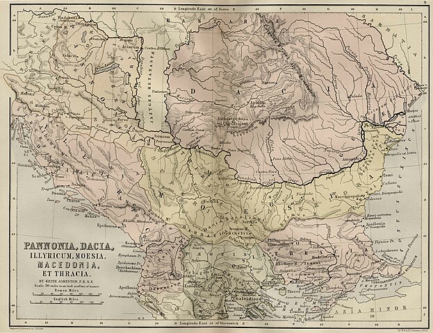
Pannonia, Illyricum, Moesia, Macedonia Et Thracia,(Map 9)
|
||||
| Date | uploaded 20 August 2005, made 1867 | ||||
| Source | School Atlas of classical geography: comprising, in twenty-three plates by Alexander Keith Johnston, Publisher;William Blackwood and Sons,1867 | ||||
| Author | Alexander Keith Johnston | ||||
| Permission (Reusing this file) |
|
||||
File history
Click on a date/time to view the file as it appeared at that time.
| Date/Time | Thumbnail | Dimensions | User | Comment | |
|---|---|---|---|---|---|
| current | 12:09, 20 August 2005 | | 3,717 × 2,866 (969 KB) | Bogdan (talk | contribs) | Pannonia, Dacia, Illyria, Moesia {{PD}} Public Domain map from an old book. Category:Roman provinces Category:Dacia |
You cannot overwrite this file.
File usage on Commons
The following 5 pages use this file:
File usage on other wikis
The following other wikis use this file:
- Usage on ar.wikipedia.org
- Usage on azb.wikipedia.org
- Usage on be.wikipedia.org
- Usage on de.wikipedia.org
- Usage on el.wikipedia.org
- Usage on en.wikipedia.org
- Usage on es.wikipedia.org
- Usage on fa.wikipedia.org
- Usage on id.wikipedia.org
- Usage on ko.wikipedia.org
- Usage on mt.wikipedia.org
- Usage on nl.wikipedia.org
- Usage on pt.wikipedia.org
- Usage on ru.wikipedia.org
- Usage on sl.wikipedia.org
- Usage on sr.wikipedia.org
- Usage on tr.wikipedia.org
- Usage on uk.wikipedia.org
Metadata
- Maps of the history of the ancient Balkans
- Maps of the history of Kosovo in ancient times
- Historical maps of the Danube watercourse system
- Maps of the lower Danube
- Maps of the middle Danube
- Maps of Roman Dacia
- Maps of Roman Pannonia
- Maps of Illyricum
- Maps of the history of Romania in ancient times
- Roman Macedonia
- Roman Thrace
- Moesia Superior
- Moesia Inferior
- Maps of Roman Dalmatia
- Old maps of Dalmatia
- Iazyges
- 1860s maps showing history
- Maps by Alexander Keith Johnston (1804–1871)