File:Rio Tambre.Portor.Ponte Maceira.jpg
Jump to navigation
Jump to search

Size of this preview: 800 × 600 pixels. Other resolutions: 320 × 240 pixels | 640 × 480 pixels | 1,024 × 768 pixels | 1,280 × 960 pixels | 2,500 × 1,875 pixels.
Original file (2,500 × 1,875 pixels, file size: 4.57 MB, MIME type: image/jpeg)
Captions
Captions
Add a one-line explanation of what this file represents
| Description |
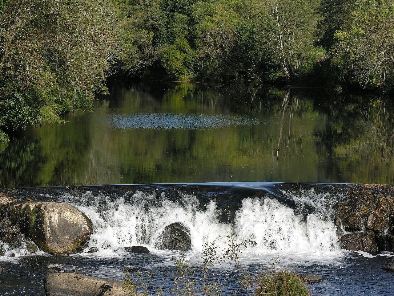
English: Tambre river, to the left it's Portor, municipality of Negreira, to the right it's Ponte Maceira, municipality of Ames. Galicia, Spain.
Français : La Tambre, à la frontière entre les municipalités de Negreira et d'Ames, en Galice (Espagne).
|
| Date | |
| Source | self made File:Rio_Tambre.Portor.Ponte_Maceira.jpg |
| Author | Luis Miguel Bugallo Sánchez (Lmbuga) |
| Permission (Reusing this file) |
GFDL (GNU Free Documentation License) |
I, the copyright holder of this work, hereby publish it under the following licenses:

|
Permission is granted to copy, distribute and/or modify this document under the terms of the GNU Free Documentation License, Version 1.2 or any later version published by the Free Software Foundation; with no Invariant Sections, no Front-Cover Texts, and no Back-Cover Texts. A copy of the license is included in the section entitled GNU Free Documentation License. |
| This file is licensed under the Creative Commons Attribution-Share Alike 3.0 Unported license. | ||
| ||
| This licensing tag was added to this file as part of the GFDL licensing update. |
You may select the license of your choice.
This image has been assessed using the Quality image guidelines and is considered a Quality image.
|
| Camera location | | View this and other nearby images on: OpenStreetMap |
|---|
File history
Click on a date/time to view the file as it appeared at that time.
| Date/Time | Thumbnail | Dimensions | User | Comment | |
|---|---|---|---|---|---|
| current | 19:47, 8 November 2007 | | 2,500 × 1,875 (4.57 MB) | Lmbuga (talk | contribs) | {{Information |Description= *{{gl|Río Tambre, entre Portor, concello de Negreira e Ponte Maceira, concello de Ames. Galicia}} *{{en|Tambre river, to the left it's [[Por |
You cannot overwrite this file.
File usage on Commons
The following 6 pages use this file:
File usage on other wikis
The following other wikis use this file:
- Usage on ca.wikipedia.org
- Usage on en.wikipedia.org
- Usage on es.wikipedia.org
- Usage on eu.wikipedia.org
- Usage on fr.wikipedia.org
- Usage on gl.wikipedia.org
- Río Tambre
- Galería de imaxes de Negreira
- Usuario:Hugo.arg
- Wikipedia:Galería de Imaxes da Semana
- Wikipedia:Imaxe da semana/Propostas/Imaxe:Rio Tambre.Portor.Ponte Maceira.jpg
- Wikipedia:Imaxe da semana/40 2008
- Galería de imaxes do río Tambre
- Galería de imaxes de Portor, Negreira
- Wikipedia:Imaxe do día/lista
- Usage on mk.wikipedia.org
- Usage on pt.wikipedia.org
- Usage on sv.wikipedia.org