File:Reverse Side of- American Soldiers Man a Dug-In Mortar Emplacement near St.Vith, Belgium (16730734) (16161882870).jpg

Original file (5,073 × 5,960 pixels, file size: 2.09 MB, MIME type: image/jpeg)
Captions
Captions
Summary[edit]
| Description |
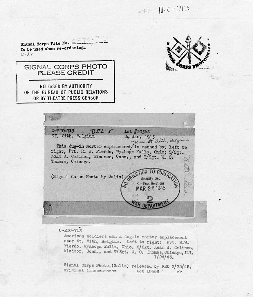
Original Caption: American soldiers man a dug-in mortar emplacement near St. Vith, Belgium. Left to right: Pvt. R. W. Fierdo, Wyahogn Falls, Ohio, S/Sgt. Adam J. Celinca, Windsor, Conn., and T/Sgt. W. O. Thomas, Chicago, Ill. U.S. National Archives' Local Identifier: 111-C-713 Created by: Department of Defense. Department of the Army. Office of the Deputy Chief of Staff for Operations. U.S. Army Audiovisual Center. ca. 1974-5/15/1984 Production Date: 1/24/1945 Scope and Content Note: Original caption: American soldiers man a dug-in mortar emplacement near St. Vith, Belgium. Left to right: Pvt. R. W. Fierdo, Wyahogn Falls, Ohio, S/Sgt. Adam J. Celinca, Windsor, Conn., and T/Sgt. W. O. Thomas, Chicago, Ill. Persistent URL: catalog.archives.gov/id/16730734 Repository: Still Pictures Unit, College Park,MD Access Restrictions: Unrestricted Use Restrictions: Unrestricted |
||
| Date | |||
| Source | Reverse Side of: American Soldiers Man a Dug-In Mortar Emplacement near St.Vith, Belgium (16730734) | ||
| Author | The U.S. National Archives | ||
| Permission (Reusing this file) |
The U.S. National Archives @ Flickr Commons | ||
| Other versions |
|
.jpg)
_(16161882870).jpg&action=edit§ion=1)
| Camera location | | View this and other nearby images on: OpenStreetMap |
|---|
_(16161882870).jpg¶ms=050.281935_N_0006.125478_E_globe:Earth_type:camera_source:Flickr_&language=en)
Licensing[edit]
_(16161882870).jpg&action=edit§ion=2)
This image was taken from Flickr's The Commons. The uploading organization may have various reasons for determining that no known copyright restrictions exist, such as:
More information can be found at https://flickr.com/commons/usage/. Please add additional copyright tags to this image if more specific information about copyright status can be determined. See Commons:Licensing for more information. |
| This image was originally posted to Flickr by The U.S. National Archives at https://flickr.com/photos/35740357@N03/16161882870. It was reviewed on 12 January 2018 by FlickreviewR 2 and was confirmed to be licensed under the terms of the No known copyright restrictions. |
File history
Click on a date/time to view the file as it appeared at that time.
| Date/Time | Thumbnail | Dimensions | User | Comment | |
|---|---|---|---|---|---|
| current | 17:38, 12 January 2018 | | 5,073 × 5,960 (2.09 MB) | Artix Kreiger 2 (talk | contribs) | Transferred from Flickr via Flickr2Commons |
You cannot overwrite this file.
File usage on Commons
The following page uses this file:
_(16161882870).jpg&oldid=751802126)