File:Regions of Europe.PNG
Jump to navigation
Jump to search

Size of this preview: 800 × 531 pixels. Other resolutions: 320 × 212 pixels | 640 × 425 pixels | 1,070 × 710 pixels.
Original file (1,070 × 710 pixels, file size: 31 KB, MIME type: image/png)
Captions
Captions
Add a one-line explanation of what this file represents
Summary[edit]
| Description |
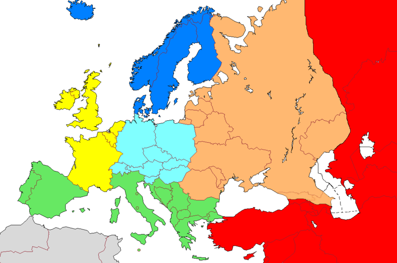
English: Regions of Europe
|
| Date | 13 August 2006 (original upload date) |
| Source | No machine-readable source provided. Own work assumed (based on copyright claims). |
| Author | No machine-readable author provided. Aongus assumed (based on copyright claims). |
| Other versions |
|

Licensing[edit]
| I, the copyright holder of this work, release this work into the public domain. This applies worldwide. In some countries this may not be legally possible; if so: I grant anyone the right to use this work for any purpose, without any conditions, unless such conditions are required by law. |
| Annotations | This image is annotated: View the annotations at Commons |
File history
Click on a date/time to view the file as it appeared at that time.
| Date/Time | Thumbnail | Dimensions | User | Comment | |
|---|---|---|---|---|---|
| current | 22:29, 6 August 2022 | | 1,070 × 710 (31 KB) | Рагин1987 (talk | contribs) | Cyprus is shaded, as well as the territories of Georgia and Azerbaijan (according to the line shown along the Kura River) |
| 09:49, 3 February 2009 |  | 1,070 × 710 (54 KB) | Koyos (talk | contribs) | reverting geographically inaccurate color coding | |
| 10:18, 18 July 2008 |  | 1,070 × 710 (53 KB) | Aegean Boy~commonswiki (talk | contribs) | {{Information |Description= |Source= |Date= |Author= |Permission= |other_versions= }} | |
| 09:36, 23 August 2006 |  | 1,070 × 710 (54 KB) | Aongus (talk | contribs) | ||
| 10:12, 13 August 2006 |  | 1,070 × 710 (54 KB) | Aongus (talk | contribs) |
You cannot overwrite this file.
File usage on Commons
The following 2 pages use this file:
File usage on other wikis
The following other wikis use this file:
- Usage on en.wikipedia.org
- Usage on zea.wikipedia.org