File:Região Autónoma da Madeira islands.svg
Jump to navigation
Jump to search

Size of this PNG preview of this SVG file: 800 × 572 pixels. Other resolutions: 320 × 229 pixels | 640 × 458 pixels | 1,024 × 732 pixels | 1,280 × 916 pixels | 2,560 × 1,831 pixels | 4,787 × 3,424 pixels.
Original file (SVG file, nominally 4,787 × 3,424 pixels, file size: 195 KB)
Captions
Captions
Add a one-line explanation of what this file represents
| Description |
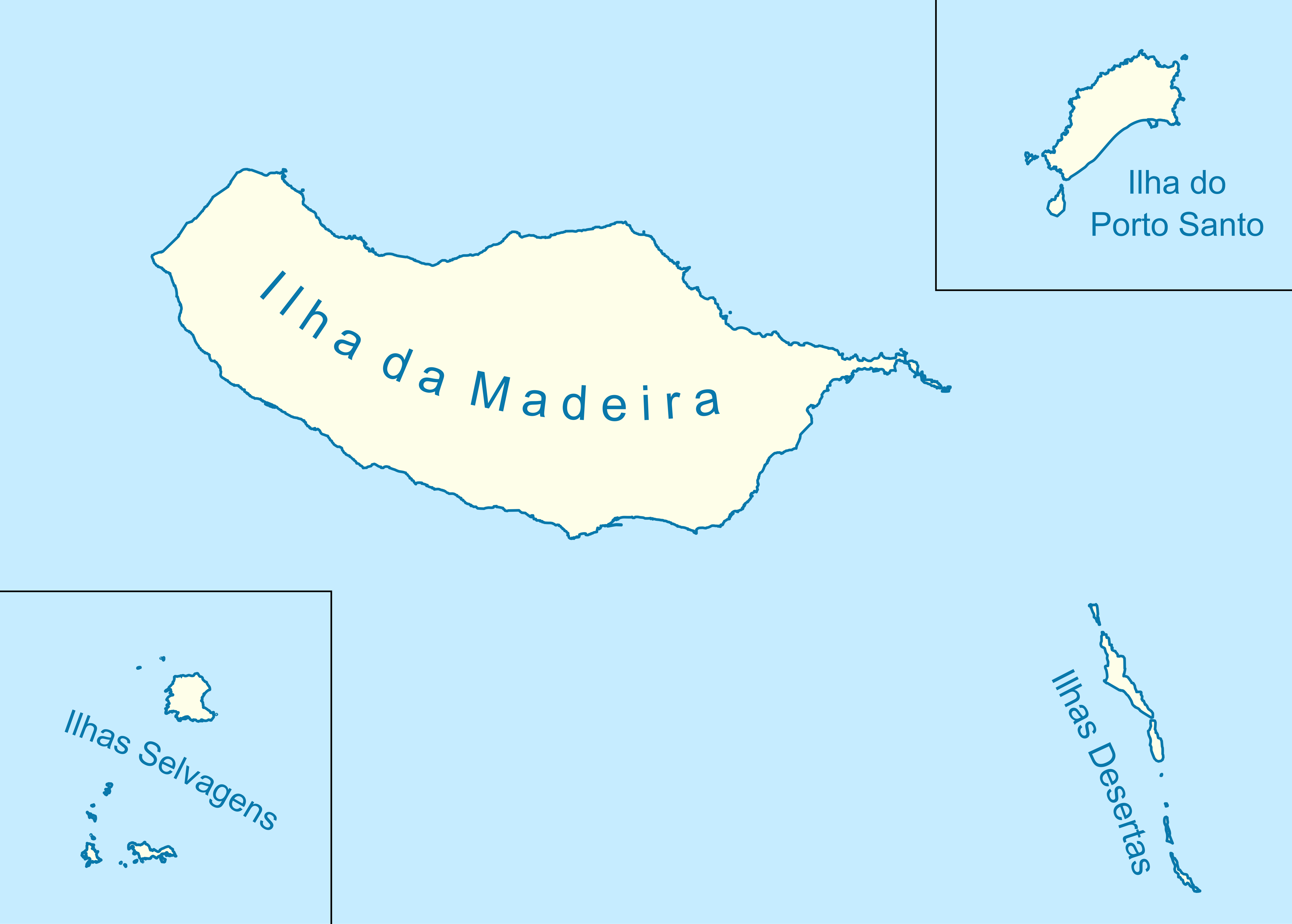
Português: Região_Autónoma_da_Madeira |
|||||
| Source | Own work based on: Islas Selvagens location map.svg and Portugal Madeira location map.svg | |||||
| Author | Willtron | |||||
| Permission (Reusing this file) |
|
|||||
| SVG development |

File history
Click on a date/time to view the file as it appeared at that time.
| Date/Time | Thumbnail | Dimensions | User | Comment | |
|---|---|---|---|---|---|
| current | 13:23, 22 July 2011 | | 4,787 × 3,424 (195 KB) | Willtron (talk | contribs) | {{Information |Description={{pt|Região_Autónoma_da_Madeira}} |Source=File:Islas Selvagens location map.svg and File:Portugal Madeira location map.svg |Date= |Author= Willtron |Permission= {{Willtroncreated}} |other_versions= |
You cannot overwrite this file.
File usage on Commons
The following page uses this file:
File usage on other wikis
The following other wikis use this file:
- Usage on es.wikipedia.org
- Usage on gl.wikipedia.org
- Usage on pt.wikipedia.org