File:RMImap-CIA context.jpg
Jump to navigation
Jump to search

No higher resolution available.
RMImap-CIA_context.jpg (362 × 378 pixels, file size: 71 KB, MIME type: image/jpeg)
Captions
Captions
Add a one-line explanation of what this file represents
Summary[edit]
| Description |
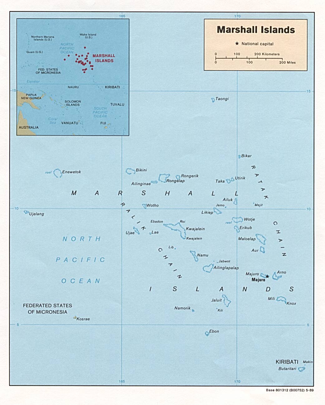
English: map of RMI |
||
| Source | CIA from PCL: . | ||
| Author |
US Government
|
||
| Other versions |
This file was derived from: RMImap-CIA.jpg |

Licensing[edit]
| This image is a work of a Central Intelligence Agency employee, taken or made as part of that person's official duties. As a Work of the United States Government, this image or media is in the public domain in the United States.
|

|
File history
Click on a date/time to view the file as it appeared at that time.
| Date/Time | Thumbnail | Dimensions | User | Comment | |
|---|---|---|---|---|---|
| current | 16:53, 7 August 2005 | | 362 × 378 (71 KB) | Bradipus (talk | contribs) | Marshall Islands Maps from http://www.lib.utexas.edu/maps/ Public Domain (see http://navalhistory.flixco.info/H/118421x19817/8330/a0.htm) |
You cannot overwrite this file.
File usage on Commons
The following 3 pages use this file: