File:Political Map of the World.png
Jump to navigation
Jump to search

Size of this preview: 800 × 437 pixels. Other resolutions: 320 × 175 pixels | 640 × 350 pixels | 1,024 × 560 pixels | 1,280 × 700 pixels | 2,560 × 1,400 pixels | 4,572 × 2,500 pixels.
Original file (4,572 × 2,500 pixels, file size: 3.43 MB, MIME type: image/png)
Captions
Captions
Add a one-line explanation of what this file represents
Summary[edit]
| Description |
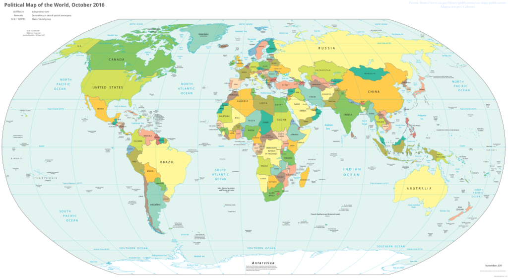
English: Map of all the countries of the world, as of October 2016. |
| Date | |
| Source | https://www.cia.gov/library/publications/the-world-factbook/docs/refmaps.html |
| Author | w:The World Factbook (w:Central Intelligence Agency) |
Licensing[edit]
This file is licensed under the Creative Commons Attribution 3.0 Unported license.
- You are free:
- to share – to copy, distribute and transmit the work
- to remix – to adapt the work
- Under the following conditions:
- attribution – You must give appropriate credit, provide a link to the license, and indicate if changes were made. You may do so in any reasonable manner, but not in any way that suggests the licensor endorses you or your use.
This image is in the public domain because it contains materials that originally came from the United States Central Intelligence Agency's World Factbook.
|
 |
File history
Click on a date/time to view the file as it appeared at that time.
| Date/Time | Thumbnail | Dimensions | User | Comment | |
|---|---|---|---|---|---|
| current | 05:16, 24 May 2018 | | 4,572 × 2,500 (3.43 MB) | James Hanan (talk | contribs) | User created page with UploadWizard |
You cannot overwrite this file.
File usage on Commons
There are no pages that use this file.