File:Plano puerto real.svg
Jump to navigation
Jump to search

Size of this PNG preview of this SVG file: 800 × 455 pixels. Other resolutions: 320 × 182 pixels | 640 × 364 pixels | 1,024 × 582 pixels | 1,280 × 728 pixels | 2,560 × 1,455 pixels | 1,161 × 660 pixels.
Original file (SVG file, nominally 1,161 × 660 pixels, file size: 232 KB)
Captions
Captions
Add a one-line explanation of what this file represents
Summary[edit]
| Description |
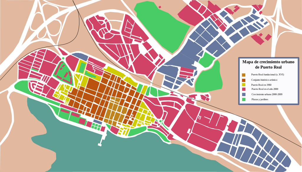
Español: Plano de crecimiento urbano de Puerto Real |
| Date | |
| Source | Elaboración propia a partir de datos del Google Earth (año 2002-año 2009), el Instituto Cartográfico de Andalucía, el Plan General de Ordenación Urbana de Puerto Real descargable en la página del Ayto. de Puerto Real. |
| Author | NACLE2 |
Licensing[edit]
| I, the copyright holder of this work, release this work into the public domain. This applies worldwide. In some countries this may not be legally possible; if so: I grant anyone the right to use this work for any purpose, without any conditions, unless such conditions are required by law. |
File history
Click on a date/time to view the file as it appeared at that time.
| Date/Time | Thumbnail | Dimensions | User | Comment | |
|---|---|---|---|---|---|
| current | 18:42, 20 September 2009 | | 1,161 × 660 (232 KB) | NACLE2 (talk | contribs) | {{Information |Description={{es|1=Plano de crecimiento urbano de Puerto Real}} |Source=Own work by uploader |Author=NACLE2 |Date=2009-09-20 |Permission= |other_versions= }} |
You cannot overwrite this file.
File usage on Commons
There are no pages that use this file.
File usage on other wikis
The following other wikis use this file:
- Usage on es.wikipedia.org