File:Pillar Point Harbor aerial view.jpg
Jump to navigation
Jump to search
Size of this preview: 800 × 533 pixels. Other resolutions: 320 × 213 pixels | 640 × 426 pixels | 1,024 × 682 pixels | 1,500 × 999 pixels.
Original file (1,500 × 999 pixels, file size: 662 KB, MIME type: image/jpeg)
Captions
Captions
Add a one-line explanation of what this file represents
| Description |
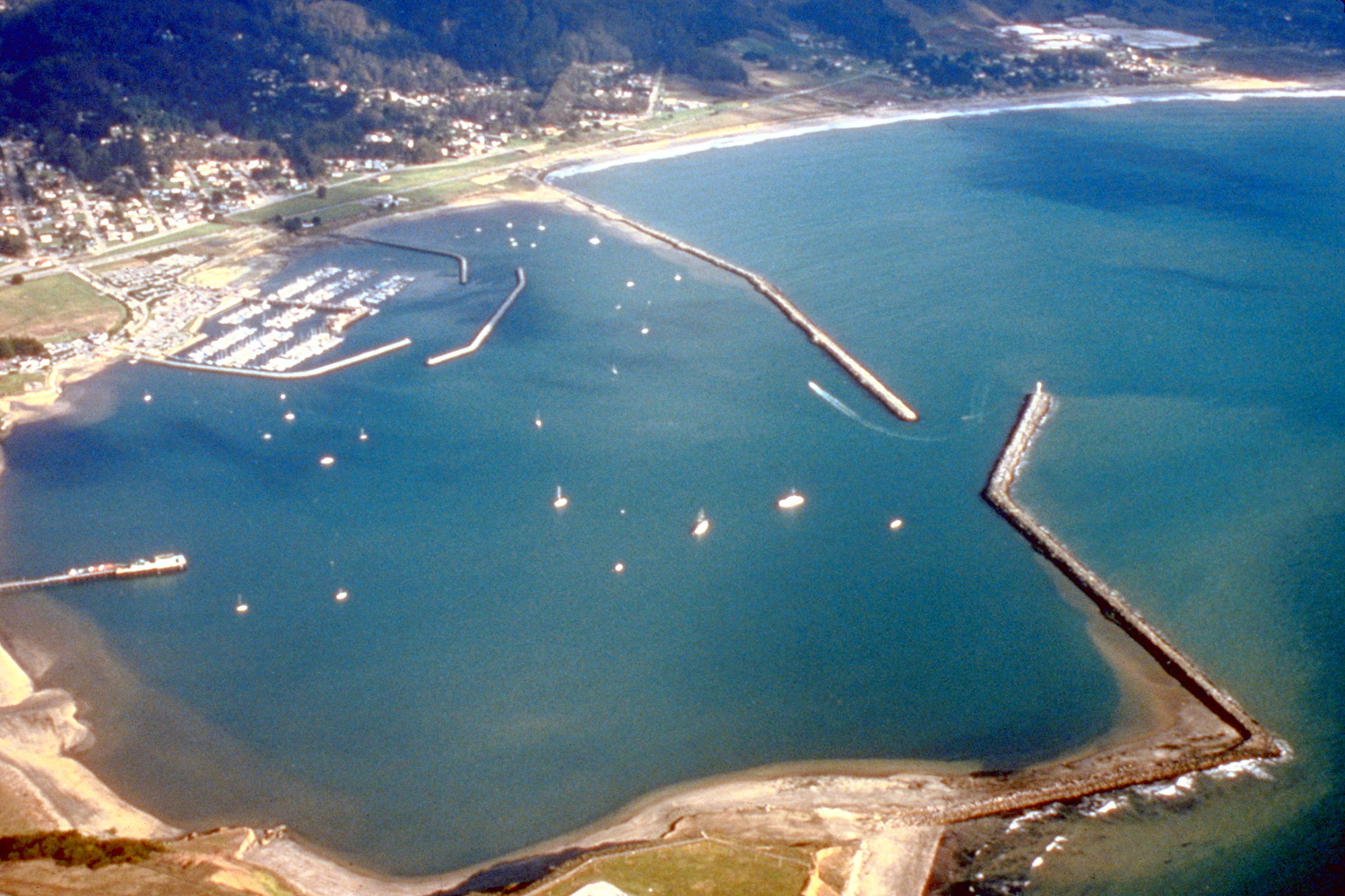
English: Aerial view of Pillar Point Harbor in San Mateo County, California, USA. The communities of Princeton and El Granada are visible on the shore at the top of the photograph. The U.S. Army Corps of Engineers constructed the breakwaters and harbor. View is to the east.
Coordinates: 37°29′57.75″N 122°29′16.91″W / 37.499375°N 122.4880306°W |
||
| Date | not specified or unknown | ||
| Source |
U.S. Army Corps of Engineers Digital Visual Library Image page Image description page Digital Visual Library home page |
||
| Author | Robert Campbell | ||
| Permission (Reusing this file) |
This file is licensed under the Creative Commons Attribution-Share Alike 3.0 Unported license.
|
||
| Location | San Mateo County, California, USA |

File history
Click on a date/time to view the file as it appeared at that time.
| Date/Time | Thumbnail | Dimensions | User | Comment | |
|---|---|---|---|---|---|
| current | 03:57, 3 May 2007 | | 1,500 × 999 (662 KB) | DanMS (talk | contribs) | {{Information | Description = {{en|Aerial view of Pillar Point Harbor in San Mateo County, California, USA. The communities of Princeton and El Granada are visible on the shore at the top of the photograph. The U.S. Army Corps of Engineers constructed |
You cannot overwrite this file.
File usage on Commons
The following page uses this file:
File usage on other wikis
The following other wikis use this file:
- Usage on en.wikipedia.org
- Usage on it.wikipedia.org
- Usage on www.wikidata.org