File:PikiWiki Israel 17227 Geography of Israel.JPG
Jump to navigation
Jump to search

Size of this preview: 800 × 598 pixels. Other resolutions: 320 × 239 pixels | 640 × 478 pixels | 1,024 × 765 pixels | 1,280 × 956 pixels | 2,592 × 1,936 pixels.
Original file (2,592 × 1,936 pixels, file size: 1.91 MB, MIME type: image/jpeg)
Captions
Captions
Add a one-line explanation of what this file represents
| Description |
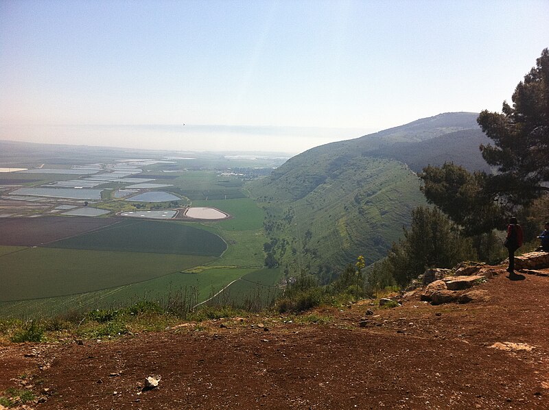
English: Geography of Israel עברית: נוף מהר הגלבוע , Original Image Name:הרי הגלבוע , Notes:מרכזי להבה 2011 |
| Date | between 2010 and 2010 |
| Source | Lehava center Nazaret via the PikiWiki - Israel free image collection project |
| Author | סאהר חביב אללה |
| Permission (Reusing this file) |
This file is licensed under the Creative Commons Attribution 2.5 Generic license. Attribution: סאהר חביב אללה
|
| Camera location | | View this and other nearby images on: OpenStreetMap |
|---|

|
This file has been submitted through the Israeli Pikiwiki project and uploaded here automatically.
The project is cooperation between the Israel Internet Association and Wikimedia Israel in an effort to promote the concept of free content on the Web, by creating an image collection of digital-format, good quality photographs, documenting events relating to the history of Israel, or depicting places of distinction in Israel and the Middle East. The Pikiwiki Project is managed from 2021 by the "Heritage Stones" group.
Please consider notifying the project before renaming or deleting this file. Further information about the project can be found on the commons-l mailing list.
|
File history
Click on a date/time to view the file as it appeared at that time.
| Date/Time | Thumbnail | Dimensions | User | Comment | |
|---|---|---|---|---|---|
| current | 01:04, 26 January 2012 | | 2,592 × 1,936 (1.91 MB) | Pikiwikisrael (talk | contribs) | {{Information |Description={{en|Geography of Israel}} {{he|נוף מהר הגלבוע , Original Image Name:הרי הגלבוע , Notes:מרכזי להבה 2011}} |Source=Lehava center Nazaret via the [http://www.pikiwiki.org.il?action=gallery&img_id=172 |
You cannot overwrite this file.
File usage on Commons
There are no pages that use this file.
File usage on other wikis
The following other wikis use this file:
- Usage on de.wikivoyage.org
- Usage on he.wikipedia.org