File:Pathway around Lake Wherspann at Chalco Hills 5.29.2010.jpg
Jump to navigation
Jump to search
Size of this preview: 800 × 600 pixels. Other resolutions: 320 × 240 pixels | 640 × 480 pixels | 1,024 × 768 pixels | 1,280 × 960 pixels | 2,560 × 1,920 pixels | 2,816 × 2,112 pixels.
Original file (2,816 × 2,112 pixels, file size: 2.11 MB, MIME type: image/jpeg)
Captions
Captions
Add a one-line explanation of what this file represents
Summary[edit]
| Description |
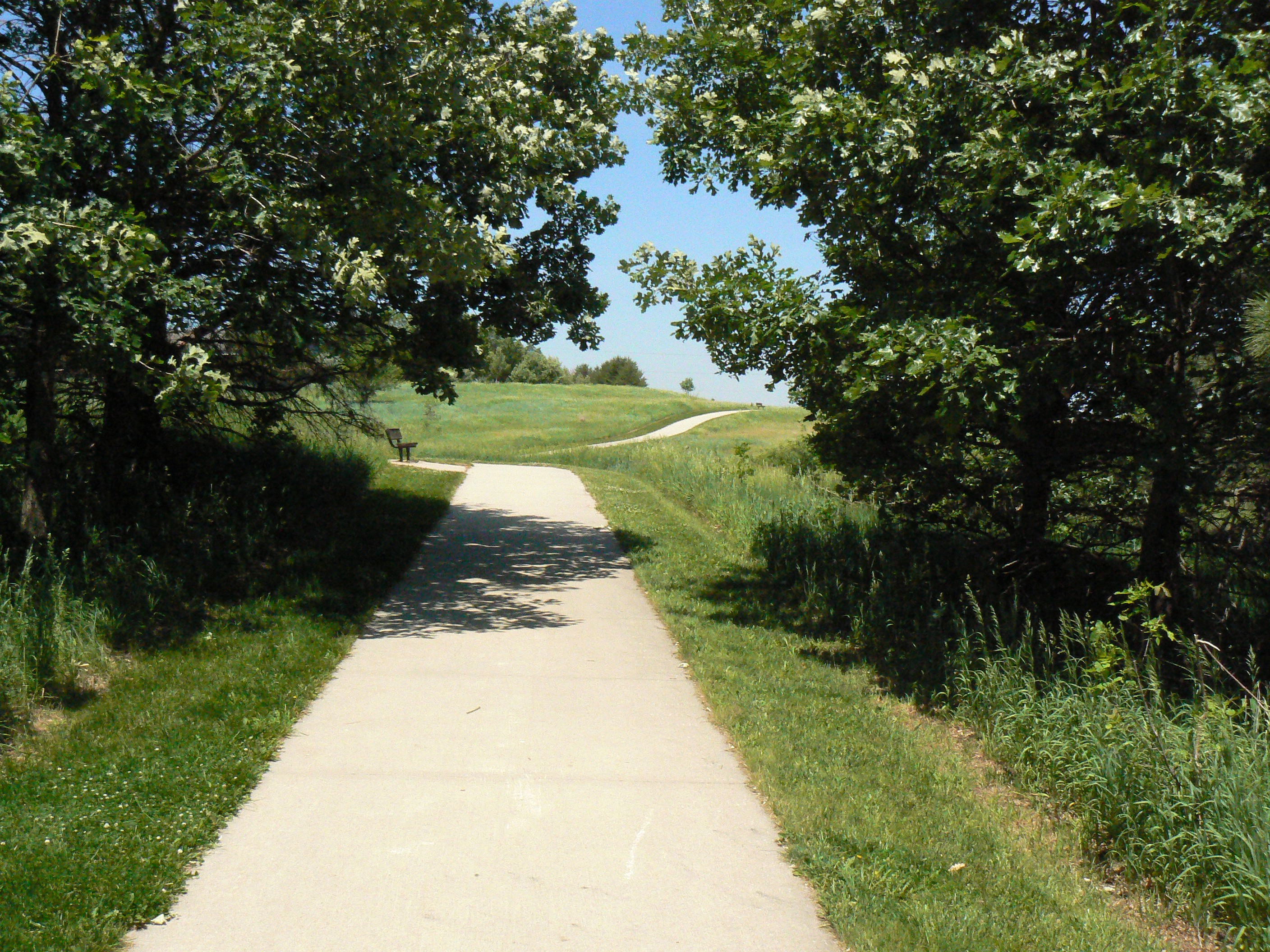
English: Pathway which is located at Chalco Hills Recreation Area, Nebraska |
| Date | |
| Source | Own work |
| Author | MONGO |
| Camera location | | View this and other nearby images on: OpenStreetMap |
|---|
Licensing[edit]
| I, the copyright holder of this work, release this work into the public domain. This applies worldwide. In some countries this may not be legally possible; if so: I grant anyone the right to use this work for any purpose, without any conditions, unless such conditions are required by law. |
File history
Click on a date/time to view the file as it appeared at that time.
| Date/Time | Thumbnail | Dimensions | User | Comment | |
|---|---|---|---|---|---|
| current | 01:51, 30 May 2010 | | 2,816 × 2,112 (2.11 MB) | MONGO (talk | contribs) | {{Information |Description={{en|1=Pathway which is loacted at Chalco Hills Recreation Area, Nebraska}} |Source={{own}} |Author=MONGO |Date=2010.05.29 |Permission= |other_versions= }} {{Location dec|41.171741|-96.154720|type:forest_region:US |
You cannot overwrite this file.
File usage on Commons
The following page uses this file: