File:North Sawba Cemetery graves.jpg
Jump to navigation
Jump to search

Size of this preview: 800 × 450 pixels. Other resolutions: 320 × 180 pixels | 640 × 360 pixels | 1,024 × 576 pixels | 1,280 × 720 pixels | 2,816 × 1,584 pixels.
Original file (2,816 × 1,584 pixels, file size: 1.42 MB, MIME type: image/jpeg)
Captions
Captions
Add a one-line explanation of what this file represents
| Camera location | | View this and other nearby images on: OpenStreetMap |
|---|
| Description |
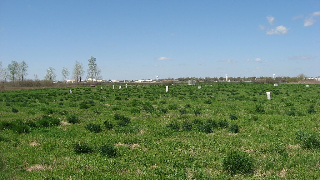
English: Graves at the North Sawba Cemetery on the former Eaker Air Force Base in Blytheville, Arkansas, United States. Buildings at the Arkansas International Airport are visible in the distance. |
||
| Date | Taken on 12 April 2013 | ||
| Source | Own work | ||
| Author | Nyttend | ||
| Permission (Reusing this file) |
|
File history
Click on a date/time to view the file as it appeared at that time.
| Date/Time | Thumbnail | Dimensions | User | Comment | |
|---|---|---|---|---|---|
| current | 18:47, 16 April 2013 | | 2,816 × 1,584 (1.42 MB) | Nyttend (talk | contribs) | {{Location|35|57|34|N|89|56|12|W}} {{Information |Description={{en|Graves at the North Sawba Cemetery on the former {{w|Eaker Air Force Base}} in {{w|Blytheville, Arkansas|Blytheville}}, {{w|Arkansas}}, {{w|United States}}. Buildings at the {{w|Arkans... |
You cannot overwrite this file.
File usage on Commons
The following page uses this file: