File:NWFB38RtMap.png
Jump to navigation
Jump to search

Size of this preview: 752 × 599 pixels. Other resolutions: 301 × 240 pixels | 602 × 480 pixels | 964 × 768 pixels | 1,280 × 1,020 pixels | 1,552 × 1,237 pixels.
Original file (1,552 × 1,237 pixels, file size: 361 KB, MIME type: image/png)
Captions
Captions
Add a one-line explanation of what this file represents
Summary[edit]
| Description |
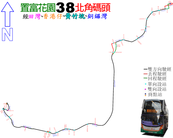
中文(香港):新巴38線的走線圖 |
| Date | |
| Source | Own work |
| Author | ATR50 |
Licensing[edit]
I, the copyright holder of this work, hereby publish it under the following license:
This file is licensed under the Creative Commons Attribution-Share Alike 3.0 Unported license.
- You are free:
- to share – to copy, distribute and transmit the work
- to remix – to adapt the work
- Under the following conditions:
- attribution – You must give appropriate credit, provide a link to the license, and indicate if changes were made. You may do so in any reasonable manner, but not in any way that suggests the licensor endorses you or your use.
- share alike – If you remix, transform, or build upon the material, you must distribute your contributions under the same or compatible license as the original.
File history
Click on a date/time to view the file as it appeared at that time.
| Date/Time | Thumbnail | Dimensions | User | Comment | |
|---|---|---|---|---|---|
| current | 03:34, 14 September 2018 | | 1,552 × 1,237 (361 KB) | ATR50~commonswiki (talk | contribs) | 2018年往5月北角方向刪站兼換相 |
| 17:07, 10 May 2018 |  | 1,552 × 1,237 (391 KB) | ATR50~commonswiki (talk | contribs) | 2018年3月取消分站 | |
| 03:27, 20 May 2016 |  | 1,552 × 1,237 (391 KB) | ATR50~commonswiki (talk | contribs) | 2016年5月搬總站 | |
| 04:28, 11 June 2014 |  | 1,552 × 1,237 (374 KB) | ATR50~commonswiki (talk | contribs) | User created page with UploadWizard |
You cannot overwrite this file.
File usage on Commons
The following 16 pages use this file:
- User:Chumwa/OgreBot/Potential transport maps/2016 May 11-20
- User:Chumwa/OgreBot/Potential transport maps/2018 May 1-10
- User:Chumwa/OgreBot/Potential transport maps/2018 September 11-20
- User:Chumwa/OgreBot/Public transport information/2016 May 11-20
- User:Chumwa/OgreBot/Public transport information/2018 May 1-10
- User:Chumwa/OgreBot/Public transport information/2018 September 11-20
- User:Chumwa/OgreBot/Transport Maps/2016 May 11-20
- User:Chumwa/OgreBot/Transport Maps/2018 May 1-10
- User:Chumwa/OgreBot/Transport Maps/2018 September 11-20
- User:Chumwa/OgreBot/Travel and communication maps/2016 May 11-20
- User:Chumwa/OgreBot/Travel and communication maps/2018 May 1-10
- User:Chumwa/OgreBot/Travel and communication maps/2018 September 11-20
- User:OgreBot/Watercraft/2016 May 17-21
- User:OgreBot/Watercraft/2018 May 10
- User:OgreBot/Watercraft/2018 September 14
- User:Pechristener/Bridges/2014 June 11-20
File usage on other wikis
The following other wikis use this file:
- Usage on zh.wikipedia.org