File:NL location in the EU and Ukraine 2016.svg
Jump to navigation
Jump to search

Size of this PNG preview of this SVG file: 701 × 600 pixels. Other resolutions: 281 × 240 pixels | 561 × 480 pixels | 898 × 768 pixels | 1,197 × 1,024 pixels | 2,394 × 2,048 pixels | 1,121 × 959 pixels.
Original file (SVG file, nominally 1,121 × 959 pixels, file size: 582 KB)
Captions
Captions
Add a one-line explanation of what this file represents
Summary[edit]
| Description |
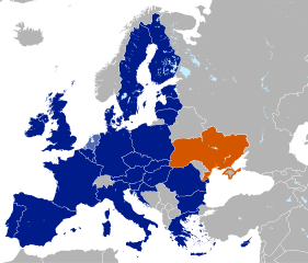
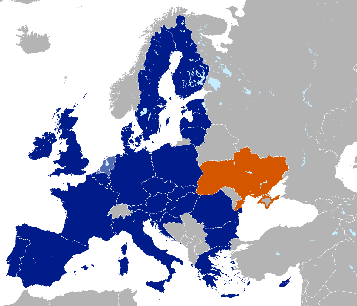
Deutsch: Lokalisation der EU (Niederlande hervorgehoben) und der Ukraine. |
||
| Date | |||
| Source |
This file was derived from: UK location in the EU 2016.svg |
||
| Author | Furfur | ||
| Permission (Reusing this file) |
I, the copyright holder of this work, hereby publish it under the following licenses:
This file is licensed under the Creative Commons Attribution-Share Alike 4.0 International license.
You may select the license of your choice. |
||
| Validation/Created with | This vector image was created with Adobe Illustrator. |

File history
Click on a date/time to view the file as it appeared at that time.
| Date/Time | Thumbnail | Dimensions | User | Comment | |
|---|---|---|---|---|---|
| current | 12:12, 9 May 2020 | | 1,121 × 959 (582 KB) | Koreanovsky (talk | contribs) | Moldova is not in the EU. |
| 17:22, 7 April 2016 |  | 1,121 × 959 (558 KB) | Furfur (talk | contribs) | ... mit Demarkationslinie | |
| 17:11, 7 April 2016 |  | 1,121 × 959 (558 KB) | Furfur (talk | contribs) | Zypern in die EU aufgenommen | |
| 18:27, 6 April 2016 |  | 1,121 × 959 (558 KB) | Furfur (talk | contribs) | Die Krim mit orangenem Rand | |
| 17:06, 2 April 2016 |  | 632 × 637 (764 KB) | Furfur (talk | contribs) | == {{int:filedesc}} == {{Information |Description={{de|1=Lokalisation der EU (Niederlande hervorgehoben) und der Ukraine.}} |Source={{Derived from|UK location in the EU 2016.svg}} |Date=2016-04-02 |Author=Furfur |Permission={{self|GFDL|... |
You cannot overwrite this file.
File usage on Commons
The following page uses this file:
File usage on other wikis
The following other wikis use this file: