File:Moucherotte - vue au sud.jpg
Jump to navigation
Jump to search
Size of this preview: 800 × 533 pixels. Other resolutions: 320 × 213 pixels | 640 × 427 pixels | 1,024 × 683 pixels | 1,280 × 853 pixels | 2,560 × 1,706 pixels | 3,500 × 2,333 pixels.
Original file (3,500 × 2,333 pixels, file size: 3.8 MB, MIME type: image/jpeg)
Captions
Captions
Add a one-line explanation of what this file represents
|
Summary[edit]
| Description |
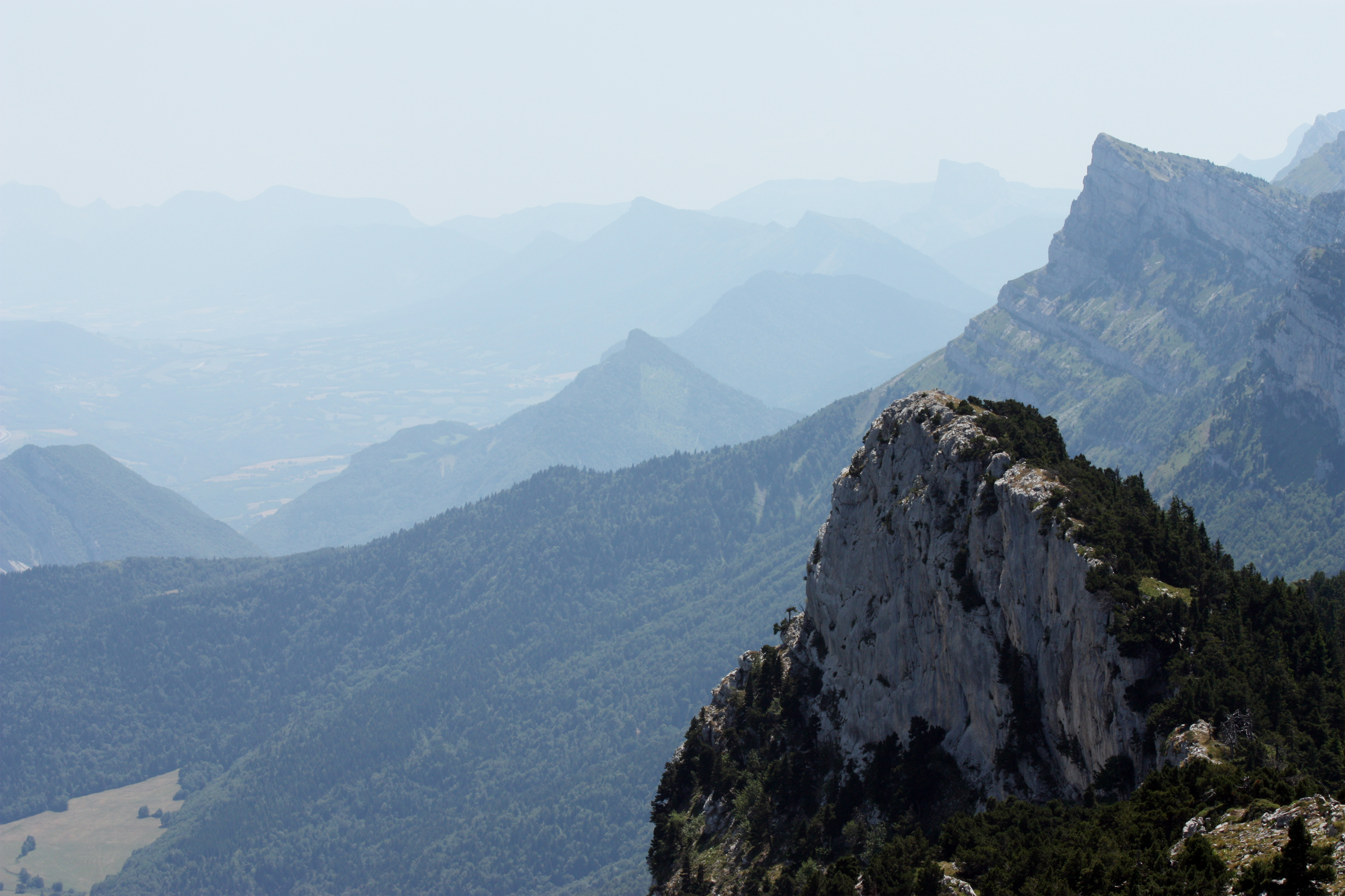
English: The north-eastern border of the Vercors massif, seen from the mount Moucherotte.
|
|
| Date | ||
| Source | Own work | |
| Author |
| |
| Attribution (required by the license) | © Guillaume Piolle / | |
| Camera location | | View this and other nearby images on: OpenStreetMap |
|---|
| This is a retouched picture, which means that it has been digitally altered from its original version. Modifications: colours enhanced.
|
Licensing[edit]
I, the copyright holder of this work, hereby publish it under the following license:
This file is licensed under the Creative Commons Attribution 3.0 Unported license.
- You are free:
- to share – to copy, distribute and transmit the work
- to remix – to adapt the work
- Under the following conditions:
- attribution – You must give appropriate credit, provide a link to the license, and indicate if changes were made. You may do so in any reasonable manner, but not in any way that suggests the licensor endorses you or your use.
| Annotations | This image is annotated: View the annotations at Commons |
File history
Click on a date/time to view the file as it appeared at that time.
| Date/Time | Thumbnail | Dimensions | User | Comment | |
|---|---|---|---|---|---|
| current | 17:49, 27 February 2010 | | 3,500 × 2,333 (3.8 MB) | Eusebius (talk | contribs) | {{Information |Description={{en|1=The north-eastern border of the {{w|Vercors Plateau|Vercors massif}}, seen from the mount Moucherotte.}} {{fr|1=La bordure nord-est du massif du Vercors, vue du Moucherotte.}} |
You cannot overwrite this file.
File usage on Commons
The following 3 pages use this file:
File usage on other wikis
The following other wikis use this file:
- Usage on fr.wikipedia.org