File:Moll - A new map of the whole world with the trade winds.png
Jump to navigation
Jump to search
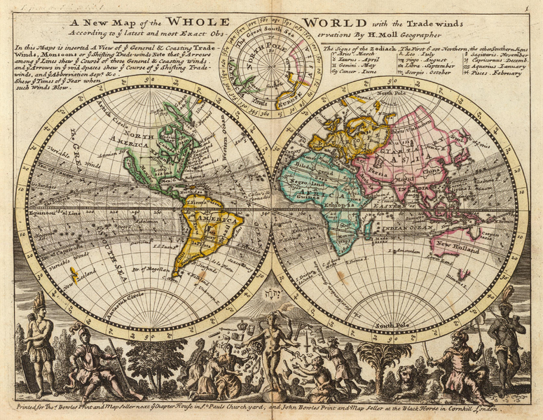
Size of this preview: 775 × 600 pixels. Other resolutions: 310 × 240 pixels | 621 × 480 pixels | 993 × 768 pixels | 1,280 × 990 pixels | 1,400 × 1,083 pixels.
Original file (1,400 × 1,083 pixels, file size: 3.22 MB, MIME type: image/png)
Captions
Captions
Add a one-line explanation of what this file represents
Summary[edit]
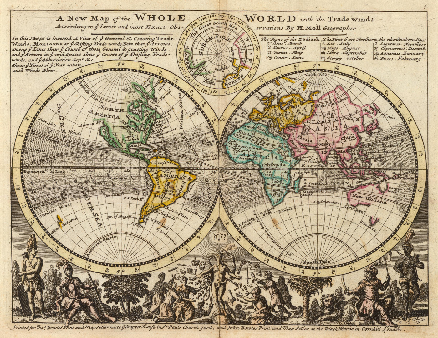
| Description |
English: Title: A New Map of the Whole World with the Trade Winds... |
|||||||||||||||||||||||
| Date | ||||||||||||||||||||||||
| Source | Atlas Minor, 3rd ed. (London) | |||||||||||||||||||||||
| Author |
|
|||||||||||||||||||||||
| Other versions |
|
|||||||||||||||||||||||


_-_region_Indian_Ocean-New_Holland-Dimens_Land.png)
Licensing[edit]
|
The author died in 1732, so this work is in the public domain in its country of origin and other countries and areas where the copyright term is the author's life plus 100 years or fewer. This work is in the public domain in the United States because it was published (or registered with the U.S. Copyright Office) before January 1, 1929. | |
| This file has been identified as being free of known restrictions under copyright law, including all related and neighboring rights. | |
File history
Click on a date/time to view the file as it appeared at that time.
| Date/Time | Thumbnail | Dimensions | User | Comment | |
|---|---|---|---|---|---|
| current | 16:06, 13 September 2005 | | 1,400 × 1,083 (3.22 MB) | Frank Schulenburg (talk | contribs) | Herman Moll: ''A new map of the whole world with the trade winds'', 1736 {{Creator:Herman Moll}} Category:18th century maps |
You cannot overwrite this file.
File usage on Commons
The following 5 pages use this file:
- Herman Moll
- File:A new map of the whole world with the trade winds according to ye latest and most exact observations - Norman B. Leventhal Map Center at the BPL.jpg
- File:A new map of the whole world with the trade winds according to ye latest and most exact observations LOC 2017585657.jpg
- File:A new map of the whole world with the trade winds according to ye latest and most exact observations LOC 2017585657.tif
- File:Moll - A new map of the whole world with the trade winds (cropped) - region Indian Ocean-New Holland-Dimens Land.png
File usage on other wikis
The following other wikis use this file:
- Usage on ca.wikipedia.org
- Usage on cs.wikipedia.org
- Usage on de.wikipedia.org
- Usage on de.wikiversity.org
- Usage on en.wikipedia.org
- Usage on eo.wikipedia.org
- Usage on es.wikipedia.org
- Usage on fa.wikipedia.org
- Usage on fr.wikipedia.org
- Usage on he.wikipedia.org
- Usage on lb.wikipedia.org
- Usage on pl.wikipedia.org
- Usage on pt.wikipedia.org
- Usage on simple.wikipedia.org
- Usage on tr.wikipedia.org