File:Mobeye-ÉtéDesVilles-Compiègne-516.jpg
Original file (2,160 × 3,840 pixels, file size: 1.77 MB, MIME type: image/jpeg)
Captions
Summary[edit]
DescriptionMobeye-ÉtéDesVilles-Compiègne-516.jpg |
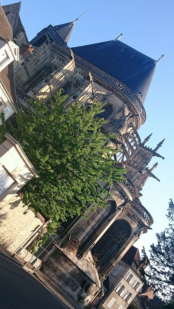
Français : Église St Antoine |
||||||||
Date | |||||||||
Source | Mobeye | ||||||||
Author | Vine | ||||||||
Permission (Reusing this file) |
|
Camera location | 49° 24′ 49.63″ N, 2° 49′ 22.52″ E | View this and other nearby images on: OpenStreetMap | 49.413786; 2.822922 |
---|
File history
Click on a date/time to view the file as it appeared at that time.
Date/Time | Thumbnail | Dimensions | User | Comment | |
---|---|---|---|---|---|
current | 21:37, 8 October 2015 | 2,160 × 3,840 (1.77 MB) | MobeyeApp (talk | contribs) | Téléversé avec ComeOn! 2.0.0-SNAPSHOT |
You cannot overwrite this file.
File usage on Commons
There are no pages that use this file.
Metadata
This file contains additional information such as Exif metadata which may have been added by the digital camera, scanner, or software program used to create or digitize it. If the file has been modified from its original state, some details such as the timestamp may not fully reflect those of the original file. The timestamp is only as accurate as the clock in the camera, and it may be completely wrong.
Camera manufacturer | SONY |
---|---|
Camera model | D5803 |
Exposure time | 1/800 sec (0.00125) |
F-number | f/2 |
ISO speed rating | 50 |
Date and time of data generation | 08:49, 25 August 2015 |
Lens focal length | 4.6 mm |
Latitude | 49° 24′ 49.63″ N |
Longitude | 2° 49′ 22.52″ E |
Altitude | 86 meters above sea level |
Horizontal resolution | 72 dpi |
Vertical resolution | 72 dpi |
Software used | 23.4.A.0.546_6_f1000010 |
File change date and time | 08:49, 25 August 2015 |
Y and C positioning | Centered |
Exif version | 2.2 |
Date and time of digitizing | 08:49, 25 August 2015 |
Meaning of each component |
|
APEX shutter speed | 9.64 |
APEX exposure bias | 0 |
Metering mode | Pattern |
Light source | Unknown |
Flash | Flash did not fire, auto mode |
DateTime subseconds | 564455 |
DateTimeOriginal subseconds | 564455 |
DateTimeDigitized subseconds | 564455 |
Supported Flashpix version | 1 |
Color space | sRGB |
Custom image processing | Normal process |
Exposure mode | Auto exposure |
White balance | Auto white balance |
Digital zoom ratio | 1.41 |
Scene capture type | Landscape |
Subject distance range | Unknown |
GPS time (atomic clock) | 06:49 |
Receiver status | Measurement in progress |
Geodetic survey data used | WGS-84 |
GPS date | 25 August 2015 |
- CC-BY-4.0
- Items with VRTS permission confirmed
- Media supported by Wikimedia France - Mobeye
- Media contributed by Mobeye
- Media supported by Wikimedia France
- Images from Été des Villes 2015
- Uploaded via Campaign:ÉtédesVilles
- Files with coordinates missing SDC location of creation (49° N, 2° E)
- Pages with maps