File:Massacre Canyon monument from NE 1.JPG
Jump to navigation
Jump to search
Size of this preview: 800 × 514 pixels. Other resolutions: 320 × 205 pixels | 640 × 411 pixels | 1,024 × 657 pixels | 1,280 × 822 pixels | 2,488 × 1,597 pixels.
Original file (2,488 × 1,597 pixels, file size: 1.14 MB, MIME type: image/jpeg)
Captions
Captions
Add a one-line explanation of what this file represents
|
This is an image of a place or building that is listed on the National Register of Historic Places in the United States of America. Its reference number is 74001118. |
Summary[edit]
| Description |
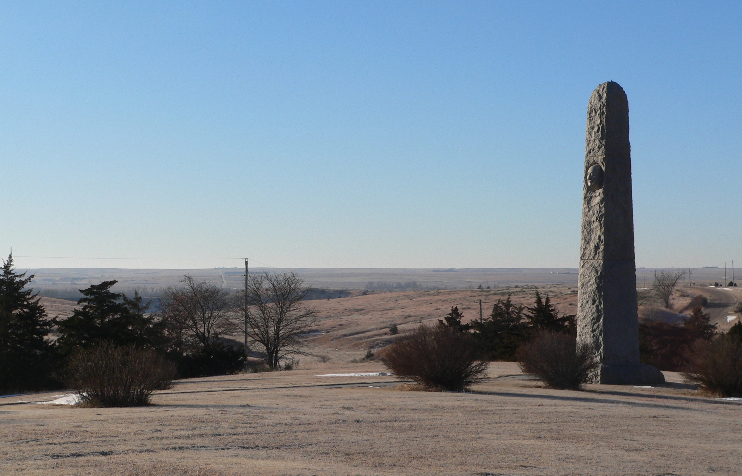
English: Massacre Canyon monument, on south side of U.S. Highway 34 northeast of Trenton, Nebraska; seen from the northeast. According a nearby historical marker, the monument was built in 1930. The canyon runs generally southward to the Republican River; the river itself is not visible, but the distant horizon in the picture is beyond it. |
| Date | |
| Source | Own work |
| Author | Ammodramus |
| Camera location | | View this and other nearby images on: OpenStreetMap |
|---|
Licensing[edit]
| I, the copyright holder of this work, release this work into the public domain. This applies worldwide. In some countries this may not be legally possible; if so: I grant anyone the right to use this work for any purpose, without any conditions, unless such conditions are required by law. |
File history
Click on a date/time to view the file as it appeared at that time.
| Date/Time | Thumbnail | Dimensions | User | Comment | |
|---|---|---|---|---|---|
| current | 03:11, 20 January 2010 | | 2,488 × 1,597 (1.14 MB) | Ammodramus (talk | contribs) | {{Information |Description={{en|1=Massacre Canyon monument, on south side of {{w|U.S. Highway 34}} northeast of {{w|Trenton, Nebraska}}; seen from the northeast. According a nearby historical marker, the monument was bu |
You cannot overwrite this file.
File usage on Commons
There are no pages that use this file.
File usage on other wikis
The following other wikis use this file:
- Usage on de.wikipedia.org
- Usage on en.wikipedia.org