File:Masakijima ckk-75-12 c30c 7.jpg
Jump to navigation
Jump to search
Size of this preview: 800 × 533 pixels. Other resolutions: 320 × 213 pixels | 640 × 427 pixels | 1,024 × 683 pixels | 1,280 × 853 pixels | 2,400 × 1,600 pixels.
Original file (2,400 × 1,600 pixels, file size: 2.48 MB, MIME type: image/jpeg)
Captions
Captions
Add a one-line explanation of what this file represents
| Description | ||||||
| Date |
日本語: 昭和50年度 |
|||||
| Source |
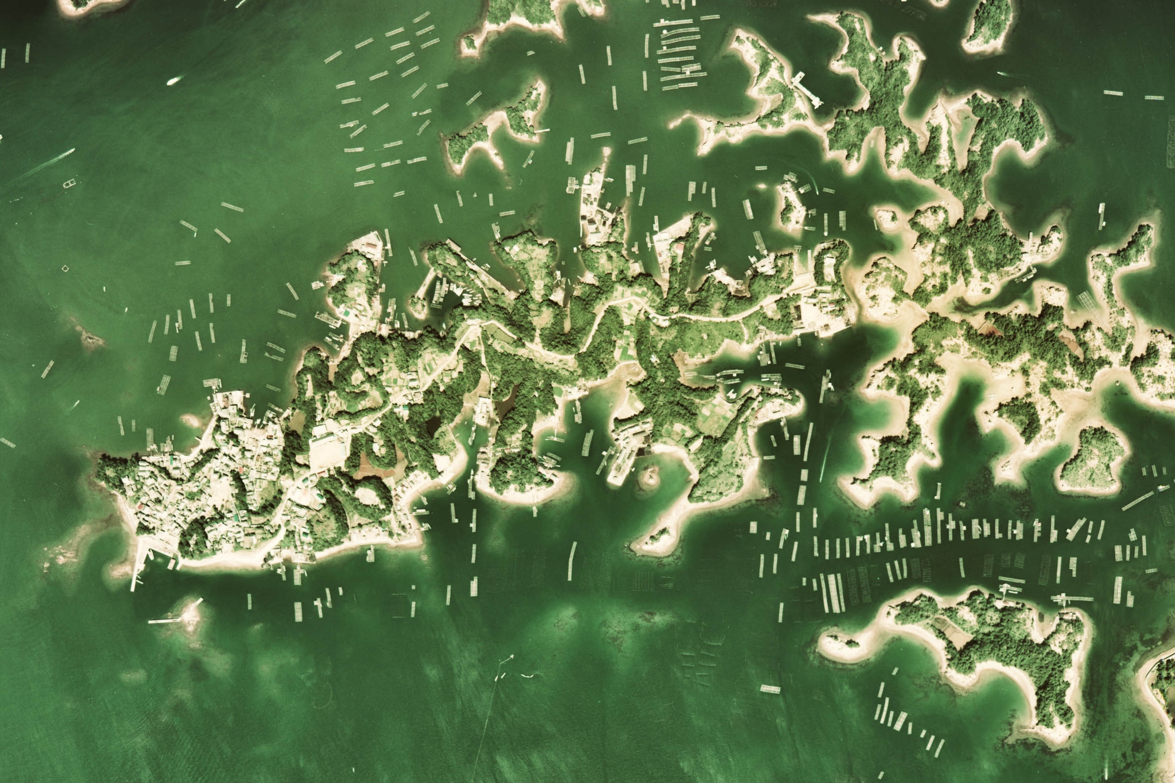
国土画像情報(カラー空中写真) (整理番号:CKK-75-12、 撮影年度:昭和50年度、 地区名:長島、 撮影縮尺:1/10000、 地形図番号:NI-53-9-3、 5万分の1地形図名:波切、 撮影コース:C30C、 写真番号:7、 緯度:34°16′56″、 経度:136°49′9″) http://w3land.mlit.go.jp/Air/photo400/75/ckk-75-12/c30c/ckk-75-12_c30c_7.jpg |
|||||
| Author |
日本語: 国土地理院 |
|||||
| Permission (Reusing this file) |
|


File history
Click on a date/time to view the file as it appeared at that time.
| Date/Time | Thumbnail | Dimensions | User | Comment | |
|---|---|---|---|---|---|
| current | 00:58, 6 February 2010 | | 2,400 × 1,600 (2.48 MB) | Minor edit (talk | contribs) | {{Information |Description={{en|Aerial Photo of Masakijima (central left), Shima City, Mie, Japan, 1975.}} {{ja|間崎島(中央左寄り、直ぐ右が天童島):[[:ja:三重県|三重県] |
You cannot overwrite this file.
File usage on Commons
There are no pages that use this file.